


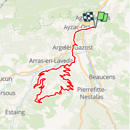

11.8 km | 20 km-effort

User


FREE GPS app for hiking
 SityTrail
IGN / Geographical institutes
SityTrail World
The world is yours!
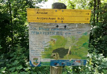
Trail Mountain bike of 44 km to be discovered at Occitania, Hautespyrenees, Boô-Silhen. This trail is proposed by tracegps.
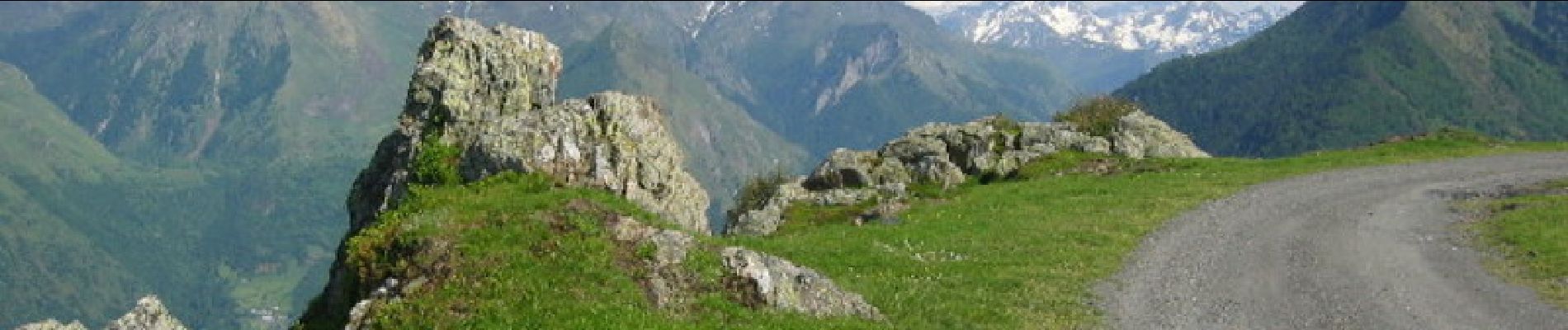
Pas de difficultés particulières, si ce n'est la pente qui reste très abordable pour un randonneur bien entrainé. Des vues epoustouflantes sur les différentes vallées environnantes


Walking

Electric bike
Walking
Walking
Walking
Walking

Walking
Walking
Walking