


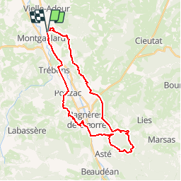

10.4 km | 14.2 km-effort

User


FREE GPS app for hiking
 SityTrail
IGN / Geographical institutes
SityTrail World
The world is yours!
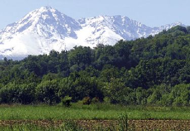
Trail Mountain bike of 32 km to be discovered at Occitania, Hautespyrenees, Montgaillard. This trail is proposed by tracegps.
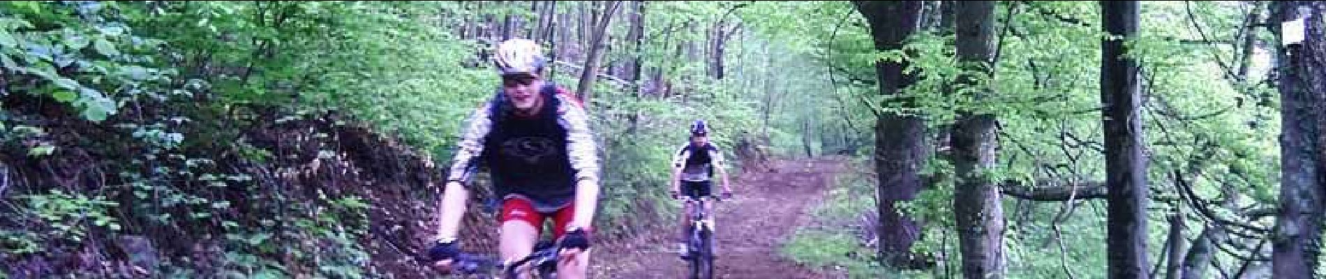
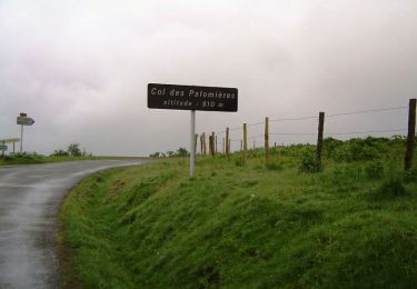
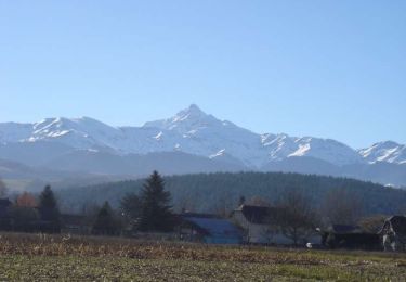
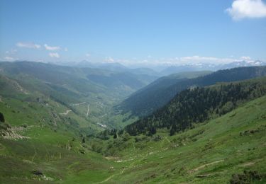
6 Mai 2006 Sympathique randonnée au départ de Montgaillard (Vielle pour nous)... Se joignent Matmat (mon "p'tit" beauf) et Alex, son pote. Faut dire qu'ils ont deux beaux destriers flambant neuf à rôder ;-) un Superbe Spé RockHopper pour Matmat et un non-moins joli Giant pour Alex. Allez, place à l'action... Ca commence par le circuit n°5, vallonné à profil ascendant jusqu'au Golf de Bigorre. Au "haut de la côte", nous montons par la route vers le col des palomières puis poursuite de la grimpette par un chemin carrossable jusqu'à Bernadaus (963m.). A ce stade nous avons déjà 600m dans les pattes en 17 kms, pas mal ! La suite ICI


Walking
Mountain bike
Mountain bike
Walking
Walking
Nordic walking
Mountain bike
Mountain bike
Mountain bike