Trail Mountain bike Aydat - Puy de la Vache - Photo
 tracegps
tracegps

User

© OpenStreetMap contributors
Length
Length
23 km
Max alt
Max alt
1150 m
Uphill gradient
Uphill gradient
586 m
Km-Effort
Km-Effort  
30 km
Min alt
Min alt
829 m
Downhill gradient
Downhill gradient
584 m
Boucle
Boucle
Yes
Creation date :
2014-12-10 00:00:00.0
Updated on :
2014-12-10 00:00:00.0

(0 Reviews)

Mountain bike
Mountain bike
2h00
Difficulty : Difficult

Scan this QR Code to open this trail in the SityTrail application

FREE GPS app for hiking

Logo SityTrail SityTrail

IGN / Geographical institutes

Download SityTrail from the App Store Download SityTrail from Google Play

Logo SityTrail SityTrail Plus

The world is yours!

Download SityTrail from the App Store Download SityTrail from Google Play Download SityTrail on Huawei AppGallery

About

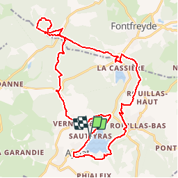
Trail Mountain bike of 23 km to be discovered at Auvergne-Rhône-Alpes, Puy-de-Dôme, Aydat. This trail is proposed by tracegps.

Description

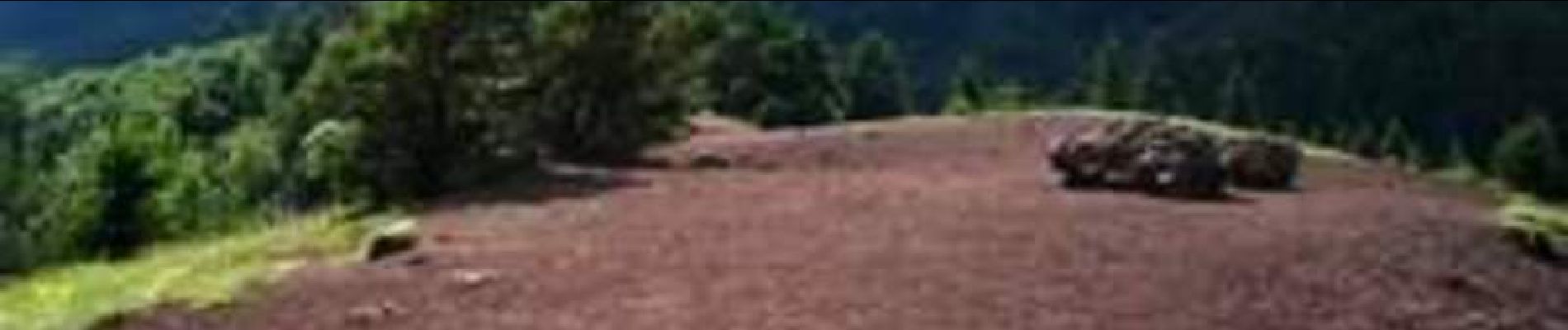
Dimanche 19 Juin 2005 30 min de voiture depuis le camping nous font rallier le lac d'Aydat. Une petite balade de 20km /   450m qui ravira tout le monde de par ses paysages, ses portages, ses descentes et sa pouzzolane. Un tour du lac d'Aydat, puis nous nous dirigeons via le GR30 vers le Puy de la Vache qui se monte et se descend par des escaliers. Retour à Aydat via le GR4 et un peu de route. D'autres images sur http://tvtt1.free.fr/tvtt/jour/2005 sortie zed/2005 juin 18-19.htm

Elevation profile

Photos

Positioning

Country:
France
Region :
Auvergne-Rhône-Alpes
Department/Province :
Puy-de-Dôme
Municipality :
Aydat
Location:
Unknown
Start:(UTM)
498615 ; 5056930 (31T) N.


Close
My subscriptions