


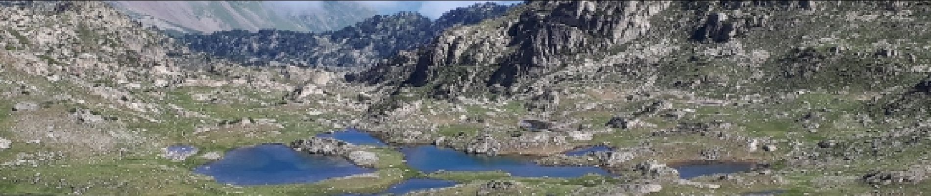
Virage du Garet (La Mongie) refuge de campana col de Bastanet et retour

jpbearnais
User


Length
17.9 km

Max alt
2505 m

Uphill gradient
1146 m
Km-Effort
33 km

Min alt
1419 m

Downhill gradient
1158 m
Boucle
Yes
Creation date :
2018-08-08 08:57:07.401
Updated on :
2018-08-08 08:57:07.401
6h23
Difficulty : Medium

FREE GPS app for hiking
 SityTrail
IGN / Geographical institutes
SityTrail Plus
The world is yours!
About
Trail Walking of 17.9 km to be discovered at Occitania, Hautespyrenees, Campan. This trail is proposed by jpbearnais.
Photos
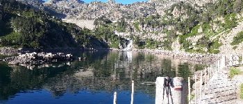
 refuge de campana col de Bastanet et retour - Photo 1")
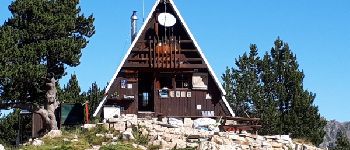
 refuge de campana col de Bastanet et retour - Photo 2")
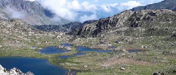
 refuge de campana col de Bastanet et retour - Photo 3")

Positioning
Country:
France
Region :
Occitania
Department/Province :
Hautespyrenees
Municipality :
Campan
Location:
Unknown
Start:(Dec)
Start:(UTM)
272264 ; 4755294 (31T) N.
Comments