Trail Walking Dinard - dinard - Photo
© OpenStreetMap contributors
Length
Length
15.5 km
Max alt
Max alt
38 m
Uphill gradient
Uphill gradient
221 m
Km-Effort
Km-Effort  
18.5 km
Min alt
Min alt
0 m
Downhill gradient
Downhill gradient
223 m
Boucle
Boucle
Yes
Creation date :
2019-01-15 13:39:27.026
Updated on :
2019-12-22 10:23:25.793

(0 Reviews)

Walking
Walking
4h01
Difficulty : Easy

Scan this QR Code to open this trail in the SityTrail application

FREE GPS app for hiking

Logo SityTrail SityTrail

IGN / Geographical institutes

Download SityTrail from the App Store Download SityTrail from Google Play

Logo SityTrail SityTrail Plus

The world is yours!

Download SityTrail from the App Store Download SityTrail from Google Play Download SityTrail on Huawei AppGallery

About

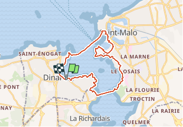
Trail Walking of 15.5 km to be discovered at Brittany, Ille-et-Vilaine, Dinard. This trail is proposed by Axelloceane.

Description

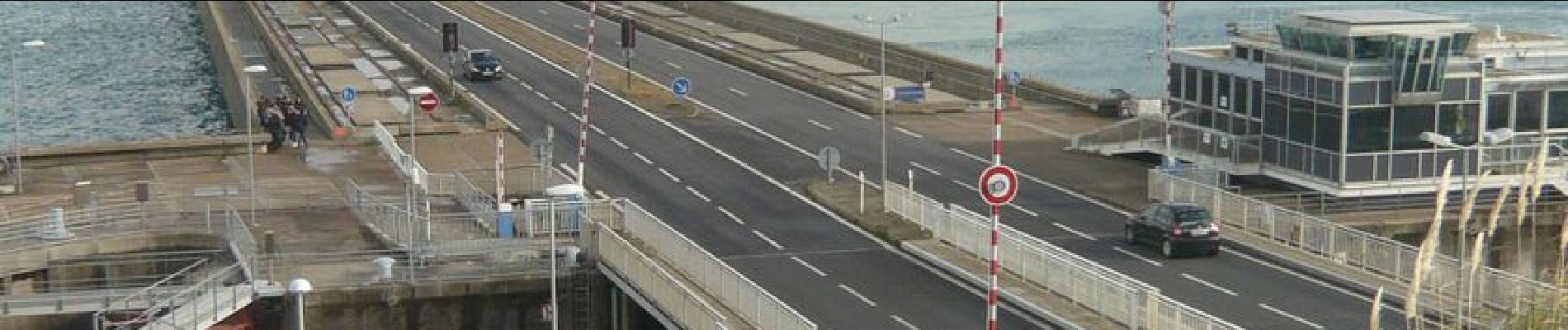
Départ de la plage du Prieuré en suivant le GR 34 direction St malo en passant par le barrage de La Rance ,le port et arrivée à la gare maritime,prendre la navette pour rejoindre Dinard par la mer.De  nouveau suivre le GR 34 pour rejoindre la plage.

Elevation profile

Photos

Positioning

Country:
France
Region :
Brittany
Department/Province :
Ille-et-Vilaine
Municipality :
Dinard
Location:
Unknown
Start:(UTM)
569980 ; 5386116 (30U) N.


Close
My subscriptions