


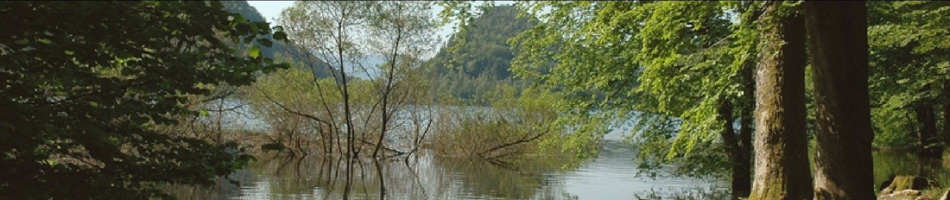
Le tour du Kastelberg par les lacs.

tracegps
User


4h00
Difficulty : Difficult

FREE GPS app for hiking
 SityTrail
IGN / Geographical institutes
SityTrail Plus
The world is yours!
About
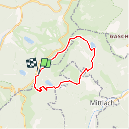
Trail Walking of 10.4 km to be discovered at Grand Est, Vosges, La Bresse. This trail is proposed by tracegps.
Description
Trois superbes lacs de montagne autour du Kastelberg par un circuit à bon dénivelé, dans un décors varié. Eté comme hiver, bonheur des yeux garanti… On n’a pas de pétrole, mais on a le club Vosgien. Qui n’a jamais usé ses semelles sur les sentiers vosgiens/alsaciens ne peut s’imaginer ce que « balisage » signifie vraiment. Ici, même une taupe sourde retrouverait son chemin ! Toutes les infos qu'il faut sont ICI
Photos

Positioning
Comments
ziet er leuk uit, welk is de route beschrijving? looking great! what are te signs for the direction? aimerait essayer ceux-ci! quel panneau suivre?
Très beau parcours. Traversée des bois féerique. Et beaux passages près des lacs. À recommander. Merci