


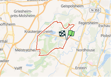
Le Tour du Bruch de l'Andlau

tracegps
User


1h30
Difficulty : Medium

FREE GPS app for hiking
 SityTrail
IGN / Geographical institutes
SityTrail Plus
The world is yours!
About
Trail Mountain bike of 22 km to be discovered at Grand Est, Bas-Rhin, Hindisheim. This trail is proposed by tracegps.
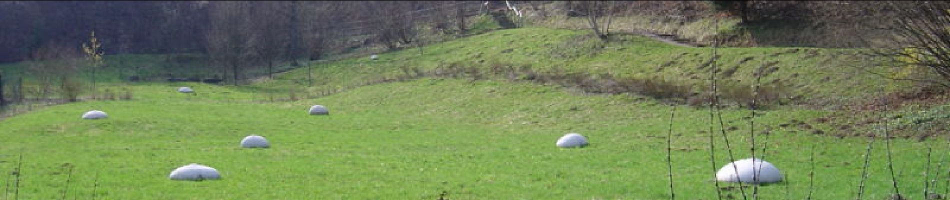
Description
Aucune difficultés particulières sur ce circuit qui vous fera longer les canaux d'irrigation du Bruch de l'Andlau. et voir la faune locale. Le sentier est large, sauf le long du Dachsbach. Soyez attentif au retour, car il faudra voir le petit sentier qui mène à un pont de bois pour passer de l'autre côté de l'Ergelsenbach. Ce sentier n'est que parfaitement visible lorsque le pré est fauché; sinon, ouvrez l'oeil , on distingue toujours une trace de passage. D'autres infos, dont une carte sont ICI
Photos

Positioning
Comments