


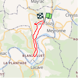

14.4 km | 19.6 km-effort

User


FREE GPS app for hiking
 SityTrail
IGN / Geographical institutes
SityTrail World
The world is yours!
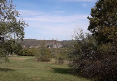
Trail Walking of 8 km to be discovered at Occitania, Lot, Saint-Sozy. This trail is proposed by tracegps.
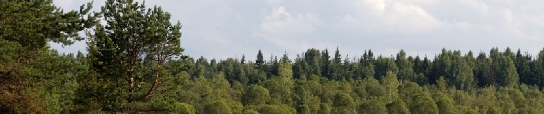
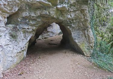
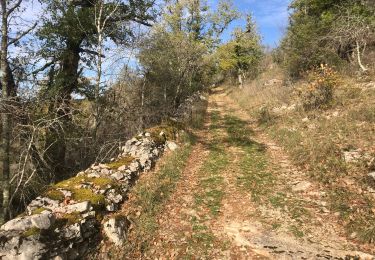
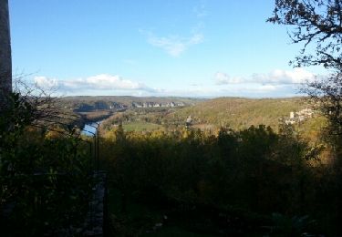
Petite boucle considéré comme "sportive", la montée sur les falaises est la portion la plus difficile mais la beauté du paysage sur la vallée de la Dordogne nous fait vite oublier les efforts fournis. D'autres infos et conseils sur Rando.eu


On foot
Walking
Walking
Walking

Mountain bike
Mountain bike
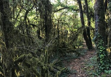
Belle rando mais nous avons perdu le chemin à 2 reprises dans la 1ère montée.
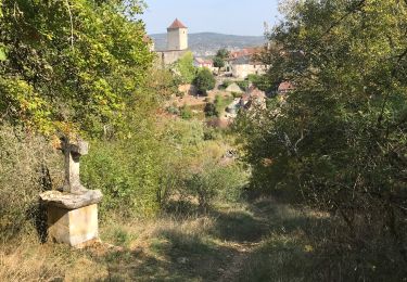
attention au départ prendre la déviation 2011 conseillée sinon galère
très belles vues