


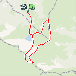

7.1 km | 13.3 km-effort


User


FREE GPS app for hiking
 SityTrail
IGN / Geographical institutes
SityTrail World
The world is yours!
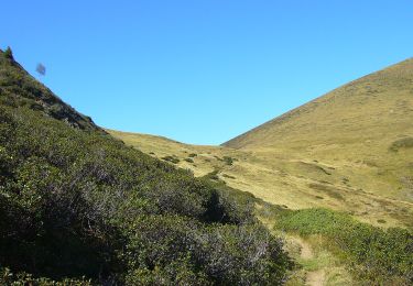
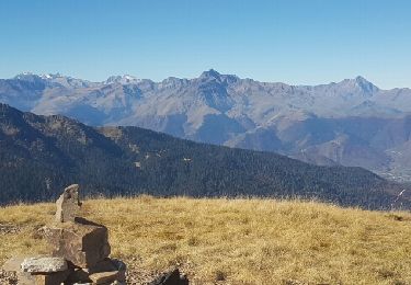
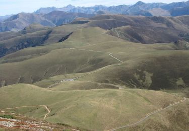
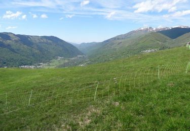
Trail Walking of 8.2 km to be discovered at Occitania, Hautespyrenees, Bareilles. This trail is proposed by tracegps.
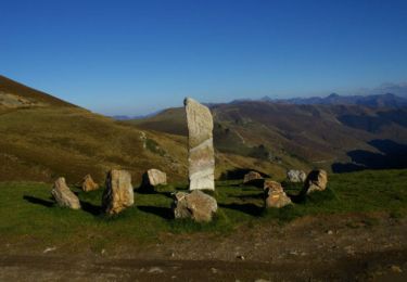
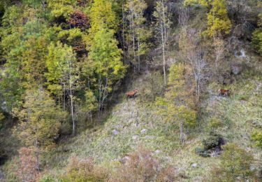
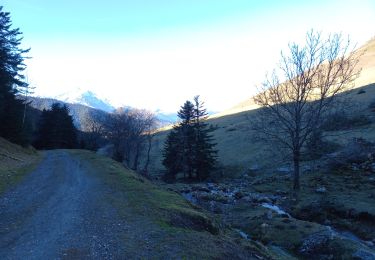
Proposée par Imag’In Pyrénées. Superbe petite randonnée à faire par beau temps. Retrouvez toutes les infos indispensables et les photos sur Montagne Cool

Walking
Walking
Walking
On foot

Walking
Walking
Mountain bike
Walking
Walking