


Les Viellettes - Estaing

tracegps
User
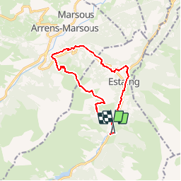

Length
13.1 km

Max alt
1519 m

Uphill gradient
818 m
Km-Effort
24 km

Min alt
951 m

Downhill gradient
811 m
Boucle
Yes
Creation date :
2014-12-10 00:00:00.0
Updated on :
2014-12-10 00:00:00.0
4h00
Difficulty : Difficult

FREE GPS app for hiking
 SityTrail
IGN / Geographical institutes
SityTrail Plus
The world is yours!
About
Trail Walking of 13.1 km to be discovered at Occitania, Hautespyrenees, Estaing. This trail is proposed by tracegps.
Description
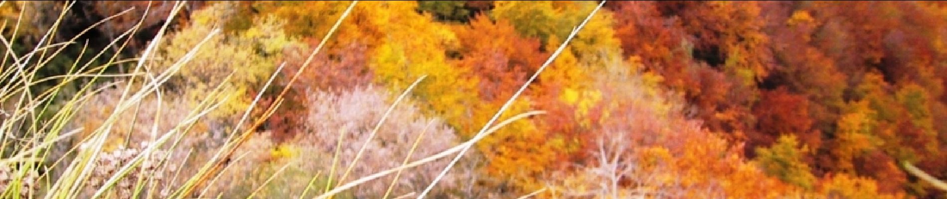
Un petit "bout" du tour du Val dAzun, une boucle au départ du gîte d’étape "les Viellettes" chez "Bubu", paysage magnifique. D’autres infos sur le site Rando.eu
Photos

Positioning
Country:
France
Region :
Occitania
Department/Province :
Hautespyrenees
Municipality :
Estaing
Location:
Unknown
Start:(Dec)
Start:(UTM)
729816 ; 4755993 (30T) N.
Comments
sympa