


Pyrénées 2017 Le pic du Taillon depuis col de Tente

chasle
User
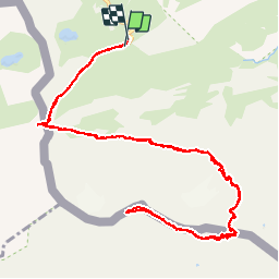

Length
15.2 km

Max alt
3130 m

Uphill gradient
1124 m
Km-Effort
30 km

Min alt
2198 m

Downhill gradient
1118 m
Boucle
Yes
Creation date :
2019-01-15 13:51:48.811
Updated on :
2019-01-15 13:51:48.811
4h46
Difficulty : Medium

FREE GPS app for hiking
 SityTrail
IGN / Geographical institutes
SityTrail Plus
The world is yours!
About
Trail Walking of 15.2 km to be discovered at Occitania, Hautespyrenees, Gavarnie-Gèdre. This trail is proposed by chasle.
Positioning
Country:
France
Region :
Occitania
Department/Province :
Hautespyrenees
Municipality :
Gavarnie-Gèdre
Location:
Gavarnie
Start:(Dec)
Start:(UTM)
741436 ; 4733167 (30T) N.
Comments