


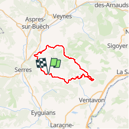


11.9 km | 22 km-effort


User


FREE GPS app for hiking
 SityTrail
IGN / Geographical institutes
SityTrail World
The world is yours!
Trail Mountain bike of 45 km to be discovered at Provence-Alpes-Côte d'Azur, Hautes-Alpes, Savournon. This trail is proposed by tracegps.
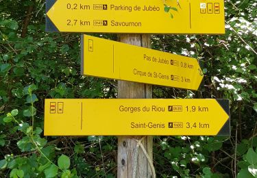
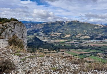
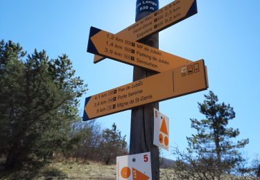
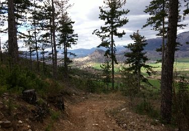
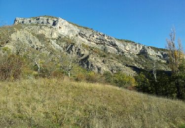
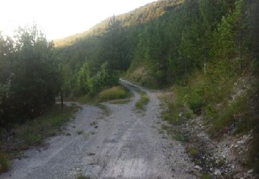
Un superbe paysage lors de la montée des gorges après le Saix, arrivée au lac de Peissiers à 1300 m puis une jolie descente. Attention au passage technique 300m après le départ du single. Environ 48 km physiques (1300m de positif) une belle balade dans le coin Possibilité après le col de Faye de remonter par Jubeo pour la descente de porte sereine.

Walking

Walking
Walking
On foot
Walking
Walking
Walking
Walking

Mountain bike