


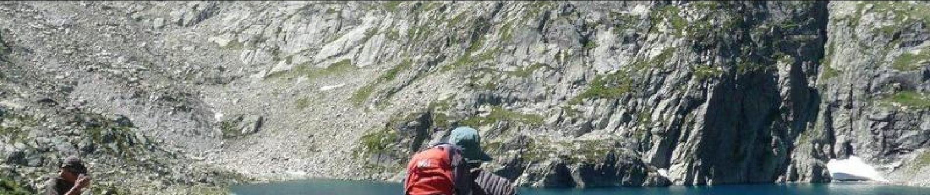
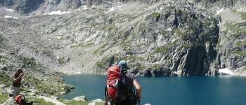
Les lacs d'Ardiden - Grust

chasle
User
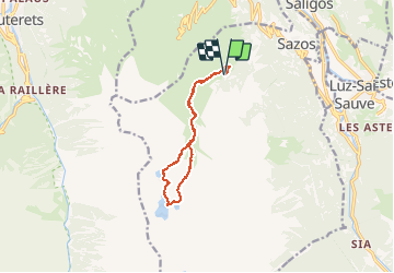

Length
11.7 km

Max alt
2459 m

Uphill gradient
1074 m
Km-Effort
26 km

Min alt
1400 m

Downhill gradient
1069 m
Boucle
Yes
Creation date :
2019-01-15 13:54:36.06
Updated on :
2019-01-15 13:54:36.06
7h00
Difficulty : Very difficult

FREE GPS app for hiking
 SityTrail
IGN / Geographical institutes
SityTrail Plus
The world is yours!
About
Trail Walking of 11.7 km to be discovered at Occitania, Hautespyrenees, Sazos. This trail is proposed by chasle.
Photos


Positioning
Country:
France
Region :
Occitania
Department/Province :
Hautespyrenees
Municipality :
Sazos
Location:
Unknown
Start:(Dec)
Start:(UTM)
741152 ; 4751323 (30T) N.
Comments