


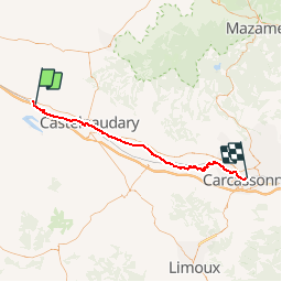


75 km | 90 km-effort


User


FREE GPS app for hiking
 SityTrail
IGN / Geographical institutes
SityTrail World
The world is yours!
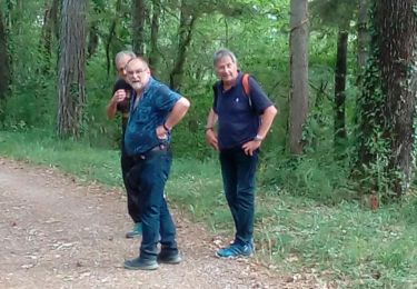
Trail Mountain bike of 54 km to be discovered at Occitania, Aude, Montferrand. This trail is proposed by tracegps.
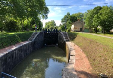
Circuit découverte Canal du Midi Circuit assez long mais profil globalement descendant.

Motorbike
On foot
On foot

Walking

Mountain bike

Walking
Walking
Walking
Mountain bike
Super application GPS de rando je l'utilise pour VTT et marche franchement super précision le seul bémol c que j'ai les cartes en rmap et je ne peux pas les utiliser domage