


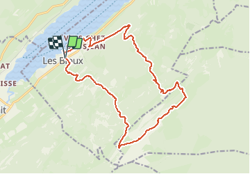

16.1 km | 24 km-effort


User


FREE GPS app for hiking
 SityTrail
IGN / Geographical institutes
SityTrail World
The world is yours!
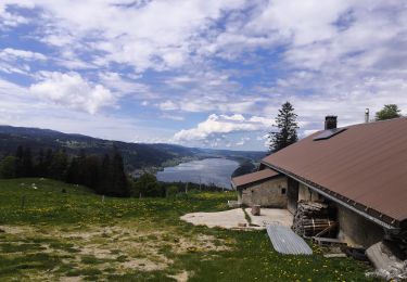
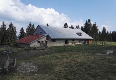
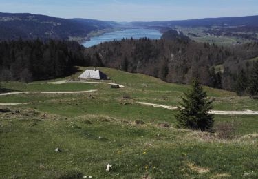
Trail Walking of 19.8 km to be discovered at Vaud, District du Jura-Nord vaudois, L'Abbaye. This trail is proposed by cmike39.
Snowshoes
Walking
Walking

Walking
Walking


sport
Walking
Walking

Snowshoes