


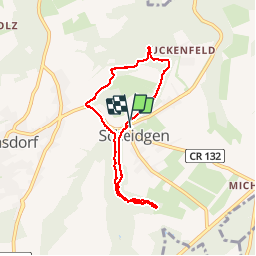
MÜLLERTHAL (un parcours auto-pédestre au départ de Scheidgen).

GerardBouche
User

Length
6.5 km

Max alt
362 m

Uphill gradient
112 m
Km-Effort
8 km

Min alt
306 m

Downhill gradient
111 m
Boucle
Yes
Creation date :
2018-08-19 07:27:00.836
Updated on :
2018-08-19 07:27:00.836
1h43
Difficulty : Easy

FREE GPS app for hiking
 SityTrail
IGN / Geographical institutes
SityTrail Plus
The world is yours!
About
Trail Walking of 6.5 km to be discovered at Unknown, Canton Echternach, Consdorf. This trail is proposed by GerardBouche.
Description
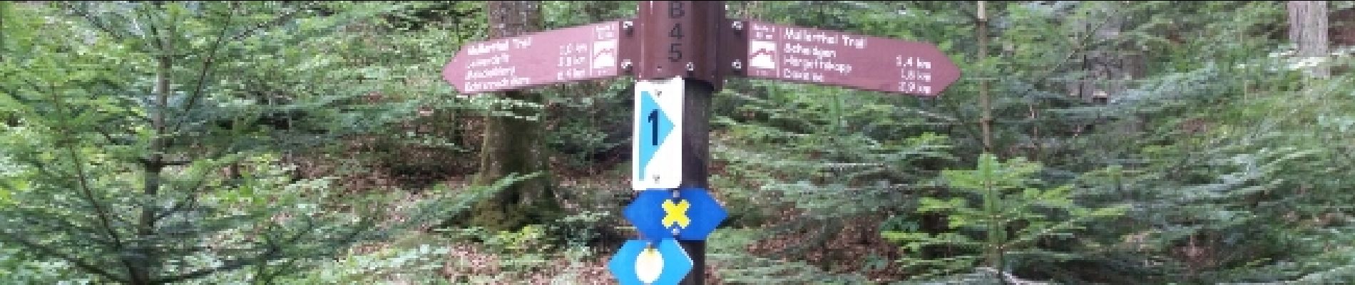
Agréable randonnée dans cette belle forêt de hêtres et ses superbes massifs rocheux typiques du Müllerthal.
Photos
. - Photo 1")
. - Photo 2")
. - Photo 3")
. - Photo 4")
Positioning
Country:
Luxembourg
Region :
Unknown
Department/Province :
Canton Echternach
Municipality :
Consdorf
Location:
Unknown
Start:(Dec)
Start:(UTM)
309929 ; 5517700 (32U) N.
Comments