


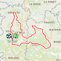

28 km | 36 km-effort

User


FREE GPS app for hiking
 SityTrail
IGN / Geographical institutes
SityTrail World
The world is yours!
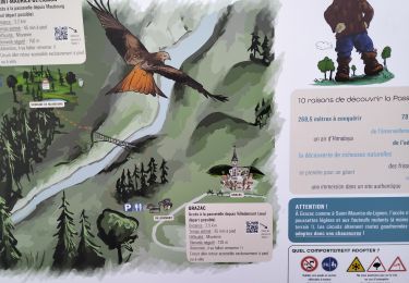
Trail Mountain bike of 19.3 km to be discovered at Auvergne-Rhône-Alpes, Haute-Loire, Grazac. This trail is proposed by tracegps.
Espace VTT FFC Le Velay des 3 Rivières Circuit labellisé par la Fédération Française de Cyclisme. Partons à la découverte d'un important patrimoine architectural civil et religieux. Le topo-guide Chamina est en vente dans le réseau Chamina, dans les Offices de Tourisme du territoire et auprès du Syndicat d’Initiative.

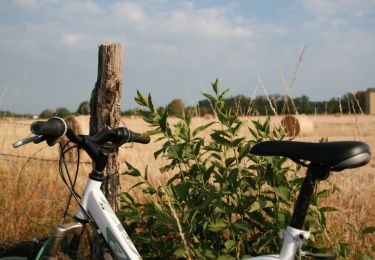
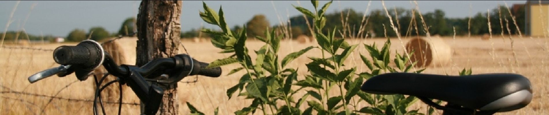
Mountain bike
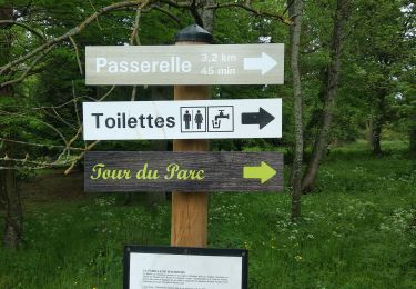
Walking
Walking
Walking
Walking
Walking
Walking
Walking
Walking
03/06/2017Actuellement impraticable à partir du hameau Chataignier sur au moins 1 km.Beaucoup de parties goudronnées.J'envisage de faire un autre tracéBonne balade