


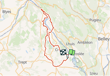

25 km | 34 km-effort


User


FREE GPS app for hiking
 SityTrail
IGN / Geographical institutes
SityTrail World
The world is yours!
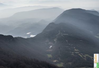
Trail Cycle of 61 km to be discovered at Auvergne-Rhône-Alpes, Isère, Brangues. This trail is proposed by leeho.
Boucle depuis Morestel vers Sault-Brenaz
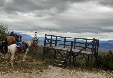
Horseback riding

Mountain bike
Mountain bike
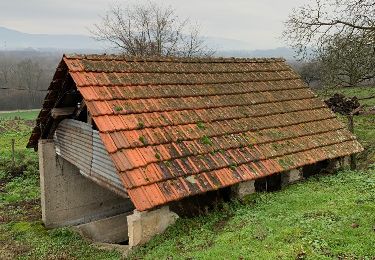
Other activity
Walking
Mountain bike
Mountain bike
Mountain bike

Equestrian