


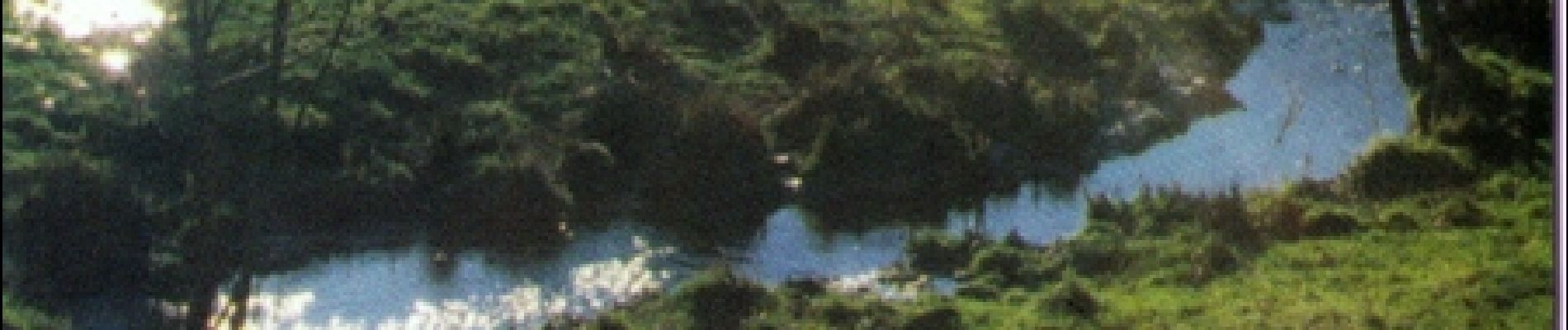
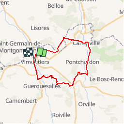
Espace VTT FFC du Pays d'Auge Ornais - Circuit n°6 - Sources et Fontaines

tracegps
User


2h00
Difficulty : Difficult

FREE GPS app for hiking
 SityTrail
IGN / Geographical institutes
SityTrail Plus
The world is yours!
About
Trail Mountain bike of 22 km to be discovered at Normandy, Orne, Vimoutiers. This trail is proposed by tracegps.
Description
Espace VTT FFC du Pays d’Auge Ornais Circuit labellisé par la Fédération Française de Cyclisme. Sportifs, la Suisse Normande vous ravira. Des gorges vertigineuses de Saint-Aubert aux lignes de crêtes panoramiques, la Suisse Normande offre un large choix de randonnées sportives aux Vttistes et randonneurs. Du haut de la Roche d’Oëtre, point culminant des Montagnes de Normandie, offrez-vous un inoubliable panorama sur la vallée de la Rouvre pour un week-end dans l'Orne.
Photos

Positioning
Comments