


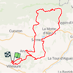

12.1 km | 15.3 km-effort


User


FREE GPS app for hiking
 SityTrail
IGN / Geographical institutes
SityTrail World
The world is yours!
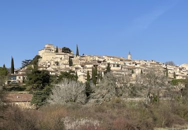
Trail Mountain bike of 51 km to be discovered at Provence-Alpes-Côte d'Azur, Vaucluse, Villelaure. This trail is proposed by tracegps.
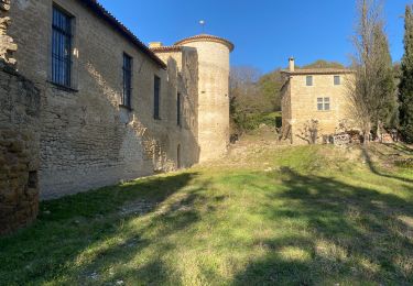
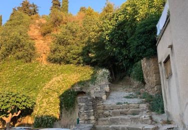
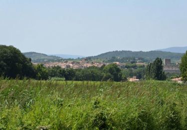
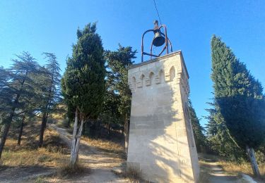
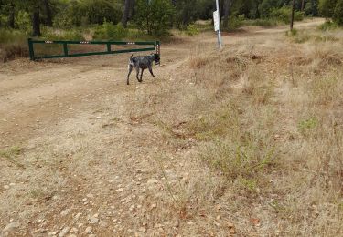
A partir de Villelaure, belle balade au dessus du ravin de l'Escalette, par la Jas de Pécou, les ruines de la jas de Nicolas et celles de la Bastide du Bois.
Walking
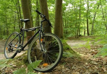
Mountain bike
Walking
Walking

Walking
Cycle
Walking
Walking
Walking