


17.5 km | 21 km-effort

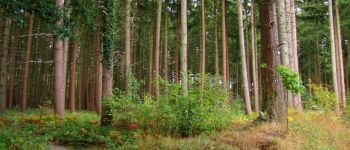
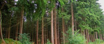
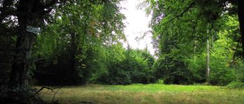
forêts de France


FREE GPS app for hiking
 SityTrail
IGN / Geographical institutes
SityTrail World
The world is yours!
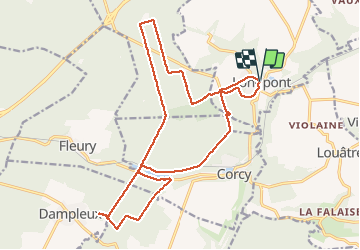
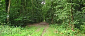
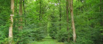
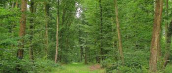
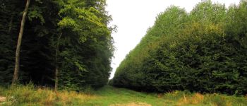
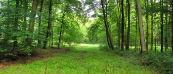
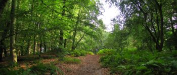
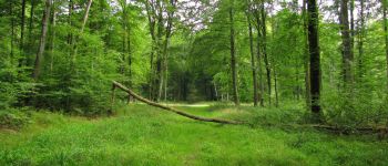
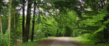
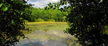
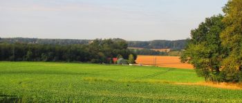
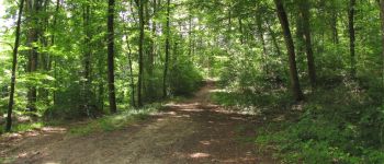
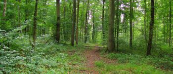
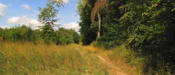
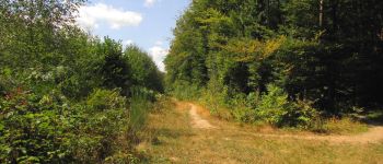
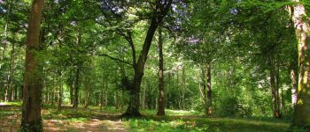
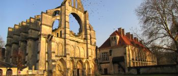
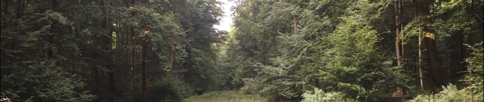
Trail Walking of 20 km to be discovered at Hauts-de-France, Aisne, Longpont. This trail is proposed by en forêt de Retz.
voir aussi mon blog: http://foret-de-retz.over-blog.com/
08/ 2018
batterie de recharge pour iphone conseillée.
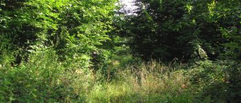
rando classée moyenne: entre les carrefours "laie de la Poudrerie_laie des Vignes" et de Vouty: j'ai pris un sentier parallèle (erreur) à la laie des Vignes (très difficile, ronces ...).
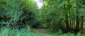
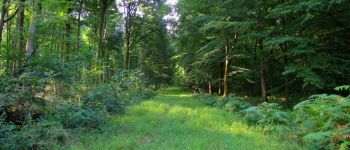
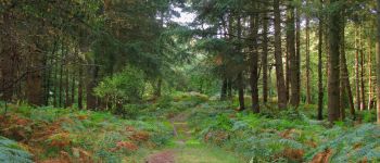
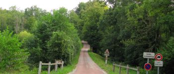
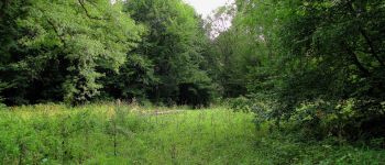
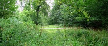
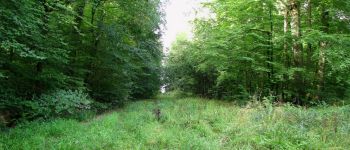
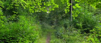
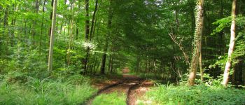
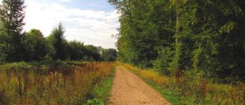
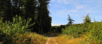
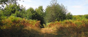
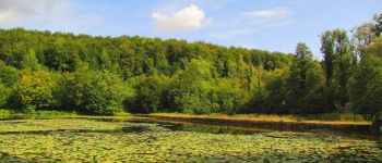
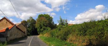
Au départ de l'Abbaye de Longpont, rejoindre le GR11A aux "trois maisons". Le suivre jusqu'au chemin de Longpont. Le prendre en tournant à gauche et continuer jusqu'au carrefour Bosc. Tourner à droite dans la laie des Grands Charmes et continuer jusqu'au carrefour des Ecuries. Prendre à gauche la Route de Chavigny jusqu'au carrefour du Hibou. Suivre à droite la Route de Vauvaudran jusqu'au carrefour Clémentine. Tourner à gauche dans la laie des Verriers puis à gauche au carrefour Eugnénie. Et c'est parti pour la Route Droite jusqu'au carrefour des Vignes. Continuer jusqu'à la fin (champ de Dampleux). Revenir vers la laie de la Fosse aux Loirs puis reprendre la laie de Vouty jusqu'au carrefour avec la laie de la Poudrerie. Tourner à gauche dans cette laie puis à droite à l'intersection entre la laie de la Poudrerie et la laie des Vignes (j'ai peut-être tourné qq mètres trop tôt) pour arriver au carrefour de Vouty. Suivre à gauche la laie du Trou de Terelle jusqu'à l'étang de la Grande Ramée. Rejoindre l'étang de la Petite Ramée en prenant le petit sentier sous la D80. Tourner à droite (Route Droite), traverser la voie ferrée (warning) puis tourner à gauche en suivant un sentier qui surplombe les étangs, continuer dans la laie du Mur du Parc et rejoindre le carrefour de Corcy. Suivre la laie de Corcy jusqu'au carrefour du Pendu puis la laie du Vieux Mur jusqu'au chemin de Longpont. Tourner à droite pour rattraper la D2 et revenir au point de Départ.


75 photos in total. Please click on a photo to see them all in the gallery.

Walking

Walking

Walking

On foot

On foot

Walking

Walking

Walking

Walking