


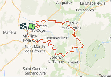

13.8 km | 16.6 km-effort


User


FREE GPS app for hiking
 SityTrail
IGN / Geographical institutes
SityTrail World
The world is yours!
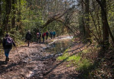
Trail Equestrian of 34 km to be discovered at Normandy, Orne, Moulins-la-Marche. This trail is proposed by tracegps.
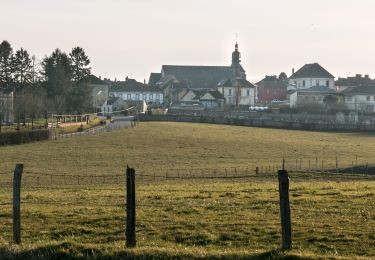
Chef-lieu de Canton et siège de la Communauté de Communes du Pays de la Marche, Moulins la Marche évoque d'une part les nombreux moulins alimentés par les ruisseaux qui ne tarissent jamais, mais également la frontière de la Normandie et du Perche, sur laquelle le château était situé, perché sur sa Motte Féodale. Au XIIème siècle, les ducs de Normandie ajouteront à ces forteresses un immense rempart linéaire en terre, dont les vestiges, encore visibles entre Verneuil-sur-Avre et Sainte-Scolasse-sur-Sarthe sont appelés "Les Fossés-le-Roy".
Walking
Walking

Walking
Walking
Walking

Mountain bike
Walking
Walking
Walking