


Bedat par croix de Manse

LouisROGER
User GUIDE
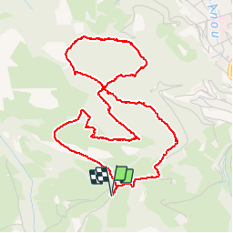

Length
6 km

Max alt
862 m

Uphill gradient
205 m
Km-Effort
8.8 km

Min alt
711 m

Downhill gradient
206 m
Boucle
Yes
Creation date :
2019-01-15 15:10:46.585
Updated on :
2019-01-15 15:10:46.585
3h48
Difficulty : Unknown

FREE GPS app for hiking
 SityTrail
IGN / Geographical institutes
SityTrail Plus
The world is yours!
About
Trail Walking of 6 km to be discovered at Occitania, Hautespyrenees, Bagnères-de-Bigorre. This trail is proposed by LouisROGER.
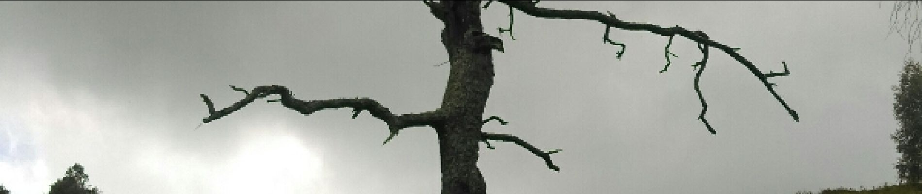
Photos


24 photos in total. Please click on a photo to see them all in the gallery.
Positioning
Country:
France
Region :
Occitania
Department/Province :
Hautespyrenees
Municipality :
Bagnères-de-Bigorre
Location:
Unknown
Start:(Dec)
Start:(UTM)
266671 ; 4770879 (31T) N.
Comments