


Heidwiller_24-8-18

DomifaC
User
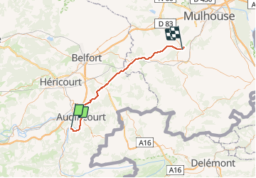

Length
53 km

Max alt
356 m

Uphill gradient
328 m
Km-Effort
58 km

Min alt
259 m

Downhill gradient
382 m
Boucle
No
Creation date :
2019-04-29 12:32:57.24
Updated on :
2019-04-29 12:32:57.305
3h26
Difficulty : Unknown

FREE GPS app for hiking
 SityTrail
IGN / Geographical institutes
SityTrail Plus
The world is yours!
About
Trail Cycle of 53 km to be discovered at Bourgogne-Franche-Comté, Doubs, Mandeure. This trail is proposed by DomifaC.
Positioning
Country:
France
Region :
Bourgogne-Franche-Comté
Department/Province :
Doubs
Municipality :
Mandeure
Location:
Unknown
Start:(Dec)
Start:(UTM)
334668 ; 5258266 (32T) N.
Comments