


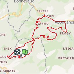

8.2 km | 21 km-effort

User


FREE GPS app for hiking
 SityTrail
IGN / Geographical institutes
SityTrail World
The world is yours!
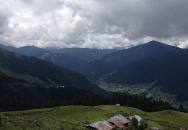
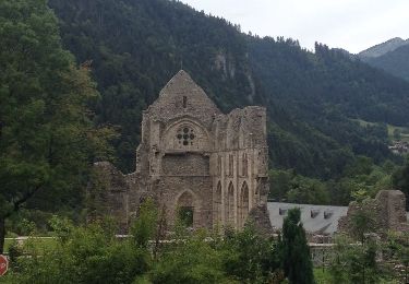
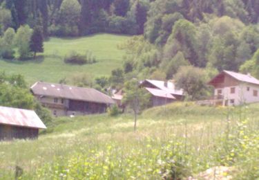
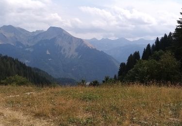
Trail Walking of 24 km to be discovered at Auvergne-Rhône-Alpes, Upper Savoy, Saint-Jean-d'Aulps. This trail is proposed by tracegps.
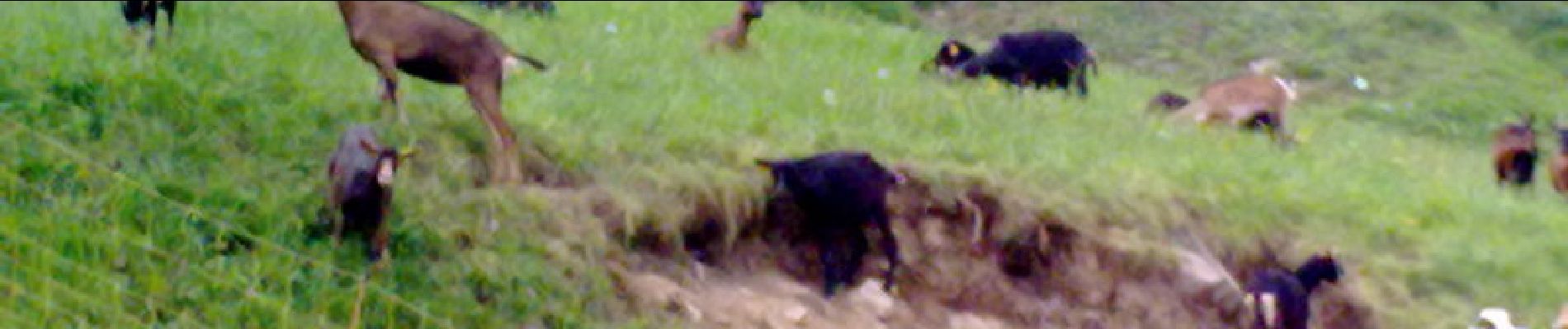
Randonnée assez difficile au niveau durée mais très beau paysage en perspective.


Walking
On foot
On foot
Walking
Walking

Walking

Walking
Walking
Walking