


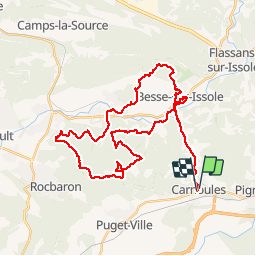

13.5 km | 19.4 km-effort

User


FREE GPS app for hiking
 SityTrail
IGN / Geographical institutes
SityTrail World
The world is yours!
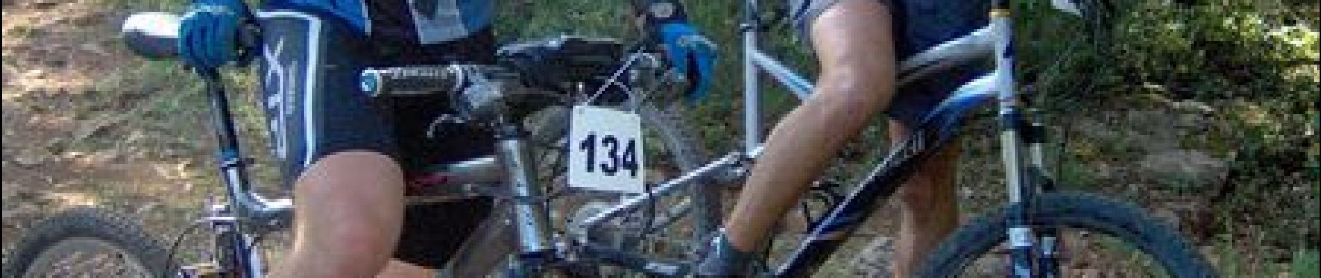
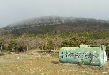
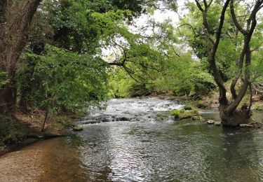
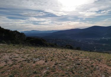
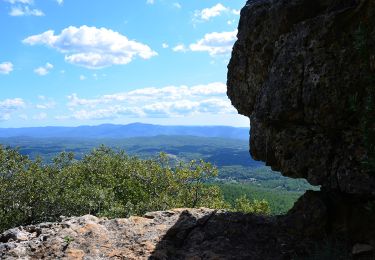
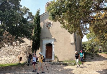
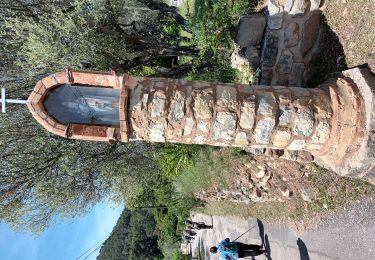
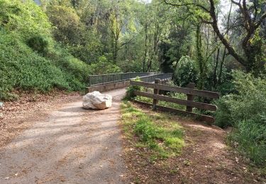
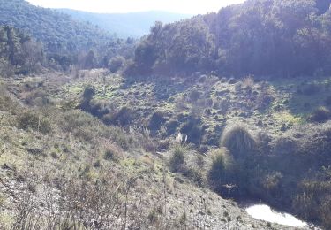
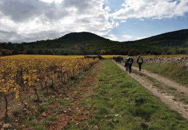
Trail Mountain bike of 46 km to be discovered at Provence-Alpes-Côte d'Azur, Var, Carnoules. This trail is proposed by tracegps.
Parcours très technique et très physique mai que du régal !


Walking
Walking
Walking
Walking
On foot
On foot
Walking
Walking
Walking