


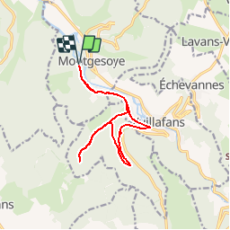
Espace VTT FFC Ornans et la Vallée de la Loue - Circuit N°110 - La Source Bleue

tracegps
User

Length
12.9 km

Max alt
456 m

Uphill gradient
256 m
Km-Effort
16.3 km

Min alt
338 m

Downhill gradient
256 m
Boucle
Yes
Creation date :
2014-12-10 00:00:00.0
Updated on :
2014-12-10 00:00:00.0
1h00
Difficulty : Easy

FREE GPS app for hiking
 SityTrail
IGN / Geographical institutes
SityTrail Plus
The world is yours!
About
Trail Mountain bike of 12.9 km to be discovered at Bourgogne-Franche-Comté, Doubs, Montgesoye. This trail is proposed by tracegps.
Description
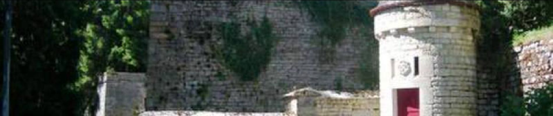
Espace VTT FFC Ornans et la Vallée de la Loue - Circuit N°110 - La Source Bleue Petit circuit qui vous fera découvrir la source bleue et la cascade de la Tuffière.
Photos

Positioning
Country:
France
Region :
Bourgogne-Franche-Comté
Department/Province :
Doubs
Municipality :
Montgesoye
Location:
Unknown
Start:(Dec)
Start:(UTM)
286393 ; 5217927 (32T) N.
Comments