


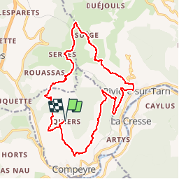

7.8 km | 12.7 km-effort

User


FREE GPS app for hiking
 SityTrail
IGN / Geographical institutes
SityTrail World
The world is yours!
Trail Mountain bike of 21 km to be discovered at Occitania, Aveyron, Compeyre. This trail is proposed by tracegps.
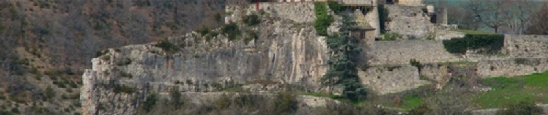
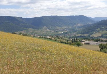
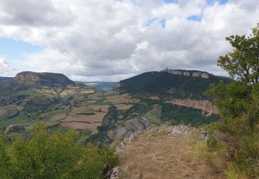
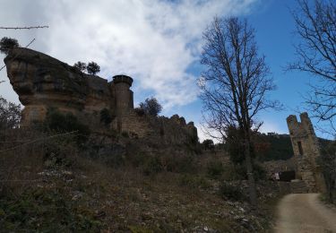
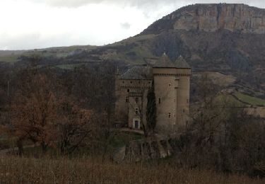
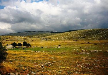
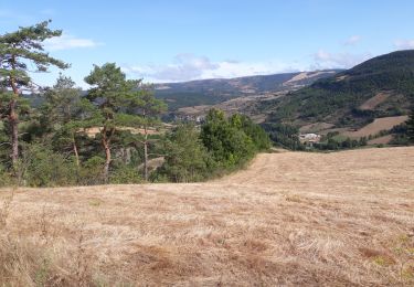
La randonnée est une jolie boucle de 20 Km environ près d'un très beau village de la Vallée du Tarn: Compeyre. Pendant la promenade, on peut admirer plusieurs Châteaux (Cabrières, Lugagnac) ainsi que de très beau paysage Aveyronnais et la vue sur le Tarn. Nous sommes partis de l'Auberge de Quiers, mais on peut partir du village de Compeyre. La balade n'est pas très difficile, mais il y a quelques belles descentes et montées, le terrain était sec et caillouteux, quelques passages techniques, mais rien de bien méchant. Engagement moyen, éviter de faire cette balade en plein cagnard. Nous avons eu la chance de voir des nuées de vautours ( de 100) qui tournoyaient près du Château de Cabrière, c'est impressionnant, il ne faut pas tomber dans un ravin car "miam-miam les oiseaux...". Il y aussi quelques coins à fossiles

Walking
Walking
Walking

Walking
Walking
Mountain bike

Walking

Walking
Walking