


Souillé circuit chanvre

uyuniness
User
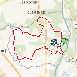

Length
8.8 km

Max alt
82 m

Uphill gradient
63 m
Km-Effort
9.6 km

Min alt
49 m

Downhill gradient
62 m
Boucle
Yes
Creation date :
2019-04-24 17:16:43.622
Updated on :
2019-04-24 17:16:43.723
2h00
Difficulty : Very easy

FREE GPS app for hiking
 SityTrail
IGN / Geographical institutes
SityTrail Plus
The world is yours!
About
Trail Walking of 8.8 km to be discovered at Pays de la Loire, Sarthe, Souillé. This trail is proposed by uyuniness.
Description
Un parcours pour retracer l’histoire de la culture du chanvre à souillé.
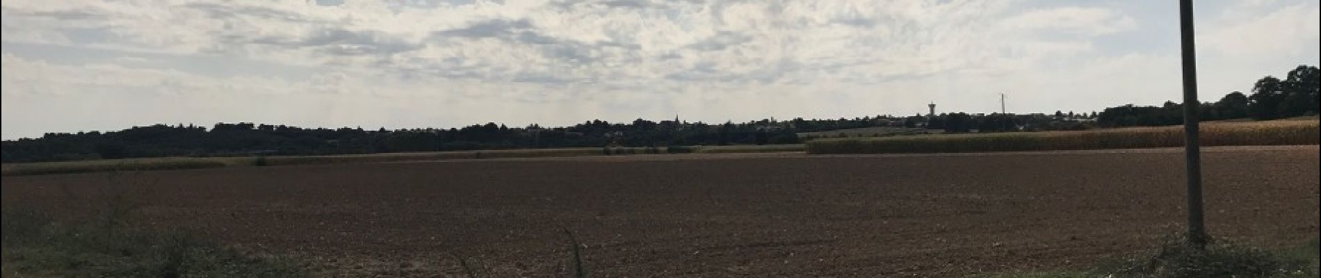
Photos


Positioning
Country:
France
Region :
Pays de la Loire
Department/Province :
Sarthe
Municipality :
Souillé
Location:
Unknown
Start:(Dec)
Start:(UTM)
290454 ; 5333219 (31U) N.
Comments