


les Sources de Volvic

Gegetop
User
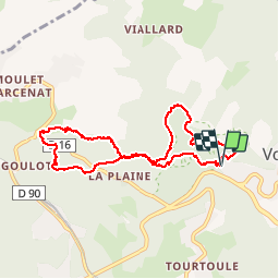

Length
8.7 km

Max alt
740 m

Uphill gradient
178 m
Km-Effort
11 km

Min alt
578 m

Downhill gradient
177 m
Boucle
Yes
Creation date :
2019-01-15 16:03:09.978
Updated on :
2019-01-15 16:03:09.978
1h47
Difficulty : Easy

FREE GPS app for hiking
 SityTrail
IGN / Geographical institutes
SityTrail Plus
The world is yours!
About
Trail Walking of 8.7 km to be discovered at Auvergne-Rhône-Alpes, Puy-de-Dôme, Volvic. This trail is proposed by Gegetop.
Description
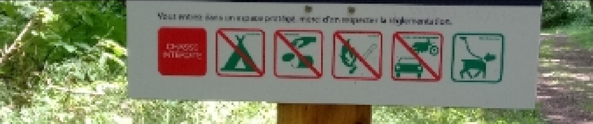
Boucle dans le parc naturel.
Photos

Positioning
Country:
France
Region :
Auvergne-Rhône-Alpes
Department/Province :
Puy-de-Dôme
Municipality :
Volvic
Location:
Unknown
Start:(Dec)
Start:(UTM)
502142 ; 5079744 (31T) N.
Comments