Trail Mountain bike Ablon - Rando d'Ablon - Normandie - Photo

Rando d'Ablon - Normandie

 tracegps
tracegps

User

© OpenStreetMap contributors
Length
Length
32 km
Max alt
Max alt
114 m
Uphill gradient
Uphill gradient
644 m
Km-Effort
Km-Effort  
41 km
Min alt
Min alt
6 m
Downhill gradient
Downhill gradient
643 m
Boucle
Boucle
Yes
Creation date :
2014-12-10 00:00:00.0
Updated on :
2014-12-10 00:00:00.0

(0 Reviews)

Mountain bike
Mountain bike
2h30
Difficulty : Difficult

Scan this QR Code to open this trail in the SityTrail application

FREE GPS app for hiking

Logo SityTrail SityTrail

IGN / Geographical institutes

Download SityTrail from the App Store Download SityTrail from Google Play

Logo SityTrail SityTrail World

The world is yours!

Download SityTrail from the App Store Download SityTrail from Google Play Download SityTrail on Huawei AppGallery

About

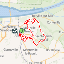
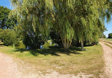
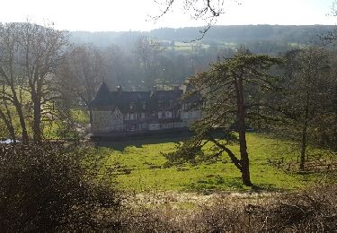
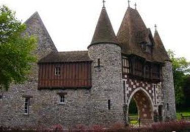
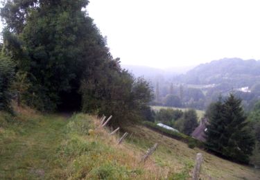
Trail Mountain bike of 32 km to be discovered at Normandy, Calvados, Ablon. This trail is proposed by tracegps.

Description

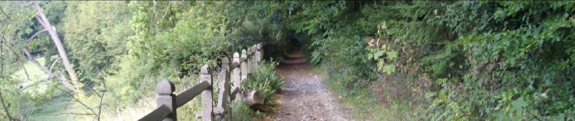
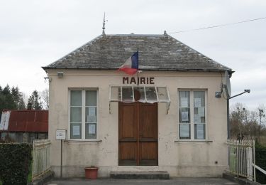
MA GNI FI QUE !!!!!!! Rando: d'Ablon Normandie Calvados Départ: sur la place de l'eglise d'Ablon. Cette rando pour ma part est surement la plus belle que j'ai jamais faite en Normandie, elle est pafaite pour découvrir le bocage normand, beaucoup de sous bois et de chemins mono trace, parfois technique avec quelques descentes assez raides. A FAIRE AB SO LU MENT !!!!!! KIFF: 8 PAYSAGES: 8 CRAMPES: 6 TECHNIQUE: 6

Elevation profile

Photos

Positioning

Country:
France
Region :
Normandy
Department/Province :
Calvados
Municipality :
Ablon
Location:
Unknown
Start:(UTM)
303895 ; 5474653 (31U) N.

Trails nearby

Trail On foot Le Theil-en-Auge - La Vallée de l'Orange - Photo
On foot
PRO

On foot

Easy
Le Theil-en-Auge, Normandy, Calvados, France
3.5 km | 3.8 km-effort
52min
No
Trail Walking Honfleur - Honfleur (PVDB) - Photo
Walking
GUIDE
Peter.vdbergh

Walking

Easy
Honfleur, Normandy, Calvados, France
8 km | 9.7 km-effort
2h 19min
No
Trail Walking Fatouville-Grestain - Fatouville - balade du phare et du l'avoir - Photo
Walking
prv

Walking

Very easy
Fatouville-Grestain, Normandy, Eure, France
8 km | 9.5 km-effort
1h 59min
Yes
Trail On foot Genneville - 20180607-genneville - Photo
On foot
doudet

On foot

Very easy
(1)
Genneville, Normandy, Calvados, France
22 km | 29 km-effort
Unknown
Yes
Trail Walking Fatouville-Grestain - Fatouville Grestain - Photo
Walking
Roulland

Walking

Medium
(1)
Fatouville-Grestain, Normandy, Eure, France
15.3 km | 18.9 km-effort
3h 12min
Yes
Trail Walking Fatouville-Grestain - phare Fatouville - Photo
Walking
Fky78

Walking

Medium
(3)
Fatouville-Grestain, Normandy, Eure, France
8.6 km | 10.1 km-effort
2h 16min
Yes
Trail Mountain bike Fatouville-Grestain - Les monts de Fatouville - Grestain - Photo
Mountain bike
tracegps

Mountain bike

Difficult
(1)
Fatouville-Grestain, Normandy, Eure, France
20 km | 26 km-effort
1h 45min
Yes
Trail Mountain bike Fourneville - Rando Fourneville Calvados Normandie - Photo
Mountain bike
tracegps

Mountain bike

Difficult
Fourneville, Normandy, Calvados, France
26 km | 32 km-effort
2h 40min
Yes
Trail Walking Fourneville - Rando Fourneville Calvados Normandie - Photo
Walking
tracegps

Walking

Very difficult
Fourneville, Normandy, Calvados, France
26 km | 32 km-effort
5h 0min
Yes


Close
My subscriptions