Trail Walking Saulx-les-Chartreux - Saulx les Chartreux vers Ville du Bois - Photo

Saulx les Chartreux vers Ville du Bois

 tracegps
tracegps

User

© OpenStreetMap contributors
Length
Length
9.6 km
Max alt
Max alt
160 m
Uphill gradient
Uphill gradient
198 m
Km-Effort
Km-Effort  
12.2 km
Min alt
Min alt
90 m
Downhill gradient
Downhill gradient
199 m
Boucle
Boucle
Yes
Creation date :
2014-12-10 00:00:00.0
Updated on :
2014-12-10 00:00:00.0

(1 Reviews)

Walking
Walking
2h30
Difficulty : Medium

Scan this QR Code to open this trail in the SityTrail application

FREE GPS app for hiking

Logo SityTrail SityTrail

IGN / Geographical institutes

Download SityTrail from the App Store Download SityTrail from Google Play

Logo SityTrail SityTrail World

The world is yours!

Download SityTrail from the App Store Download SityTrail from Google Play Download SityTrail on Huawei AppGallery

About

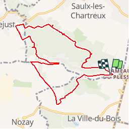
Trail Walking of 9.6 km to be discovered at Ile-de-France, Essonne, Saulx-les-Chartreux. This trail is proposed by tracegps.

Description

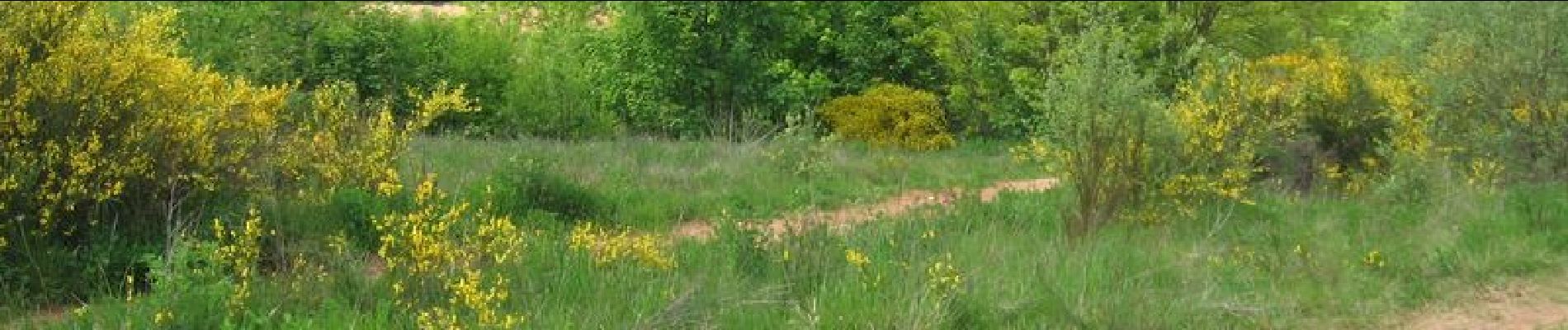
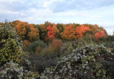
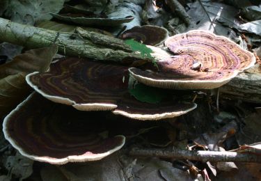
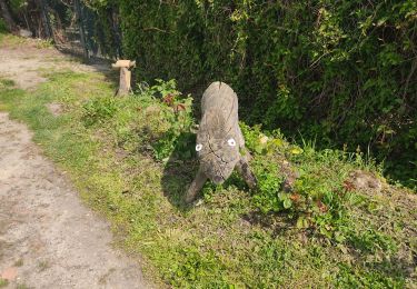
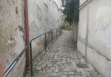
Saulx les Chartreux vers Ville du Bois. Promenade au Sud de Saulx. 10km de bois dans la forêt du Rocher de Saulx, plaine et le long du Rouillon. Il faut environ 2h30. D’autres informations et photos sont disponibles ICI.

Elevation profile

Photos

Positioning

Country:
France
Region :
Ile-de-France
Department/Province :
Essonne
Municipality :
Saulx-les-Chartreux
Location:
Unknown
Start:(UTM)
446581 ; 5391117 (31U) N.

Comments

Please log in to post a review or rate the element


Trails nearby

Trail Walking Palaiseau - De Lozere à Gif sur Yvette - Photo
Walking
tracegps

Walking

Medium
(1)
Palaiseau, Ile-de-France, Essonne, France
21 km | 28 km-effort
5h 0min
Yes
Trail Walking Marcoussis - Autour de Leuville sur Orge - Photo
Walking
tracegps

Walking

Medium
(1)
Marcoussis, Ile-de-France, Essonne, France
27 km | 32 km-effort
5h 30min
Yes
Trail On foot Villebon-sur-Yvette - Grand Tour de Villebon - Photo
On foot
PRO

On foot

Easy
(1)
Villebon-sur-Yvette, Ile-de-France, Essonne, France
13.1 km | 15.6 km-effort
3h 32min
Yes
Trail On foot Palaiseau - PR 11 - Photo
On foot
PRO

On foot

Easy
Palaiseau, Ile-de-France, Essonne, France
11.7 km | 14 km-effort
3h 10min
No
Trail On foot Villebon-sur-Yvette - PR 13 - Photo
On foot
PRO

On foot

Easy
Villebon-sur-Yvette, Ile-de-France, Essonne, France
11.3 km | 14.5 km-effort
3h 17min
No
Trail Walking Longpont-sur-Orge - SityTrail - Bassins du Carouge-Longpont sur Orge - Photo
Walking
albg

Walking

Medium
(1)
Longpont-sur-Orge, Ile-de-France, Essonne, France
9.3 km | 10.4 km-effort
2h 22min
Yes
Trail Walking Longjumeau - Le pont des templiers  - Photo
Walking
c.chehere

Walking

Medium
Longjumeau, Ile-de-France, Essonne, France
15.4 km | 17.2 km-effort
3h 56min
Yes
Trail Walking Palaiseau - Yvette et fort de Palaiseau - Photo
Walking
philippebenne

Walking

Difficult
(1)
Palaiseau, Ile-de-France, Essonne, France
10.1 km | 12.3 km-effort
2h 48min
Yes
Trail Walking Longjumeau - La rivière morte - Photo
Walking
c.chehere

Walking

Medium
Longjumeau, Ile-de-France, Essonne, France
14.8 km | 16.8 km-effort
3h 49min
No


Close
My subscriptions