


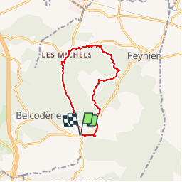
Belcodène - Puit de l'Auris - Les Michels

tracegps
User


2h30
Difficulty : Medium

FREE GPS app for hiking
 SityTrail
IGN / Geographical institutes
SityTrail Plus
The world is yours!
About
Trail Walking of 10.9 km to be discovered at Provence-Alpes-Côte d'Azur, Bouches-du-Rhône, Peynier. This trail is proposed by tracegps.
Description
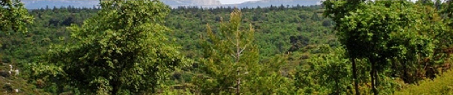
Belle randonnée sans difficulté particulière (niveau 3). Vous marcherez sur des pistes DFCI. Vous aurez de beaux points de vue sur la montagne Sainte Victoire. D’autres informations sur le site de Rando Loisirs à Carnoux en Provence.
Photos

Positioning
Comments

