


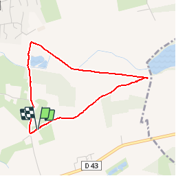


7.3 km | 7.9 km-effort


User


FREE GPS app for hiking
 SityTrail
IGN / Geographical institutes
SityTrail World
The world is yours!
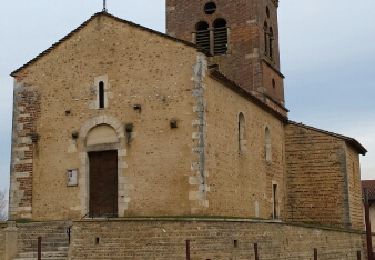
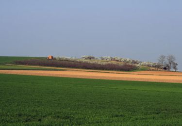
Trail Walking of 3.4 km to be discovered at Auvergne-Rhône-Alpes, Ain, Civrieux. This trail is proposed by tracegps.
Parcours de promenade avec juste une petite montée. Possibilité de pêcher, carte au café de la Bascule.
On foot

Walking
Walking
Walking
Walking
Walking
Walking
Walking

Mountain bike