


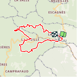


13.7 km | 18.8 km-effort

User


FREE GPS app for hiking
 SityTrail
IGN / Geographical institutes
SityTrail World
The world is yours!
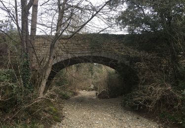
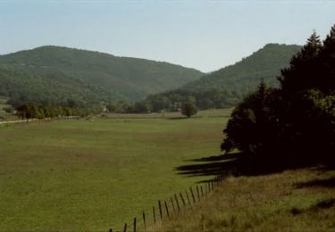
Trail Walking of 17 km to be discovered at Occitania, Hérault, Berlou. This trail is proposed by tracegps.
Boucle sympathique avec de la piste et du sentier qui domine la vallée et permet d'avoir un point de vue sur la plaine du Languedoc jusqu'à la mer.


Walking
Walking

Walking
Walking

Mountain bike
Walking

Mountain bike

Walking
Walking