


30 km | 43 km-effort


User


FREE GPS app for hiking
 SityTrail
IGN / Geographical institutes
SityTrail World
The world is yours!
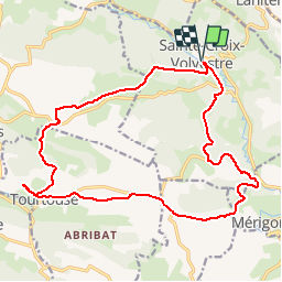
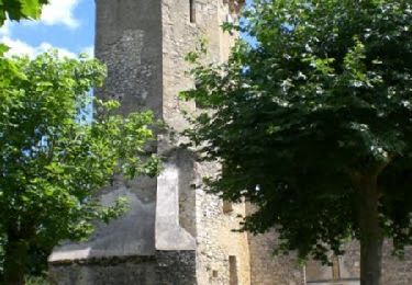
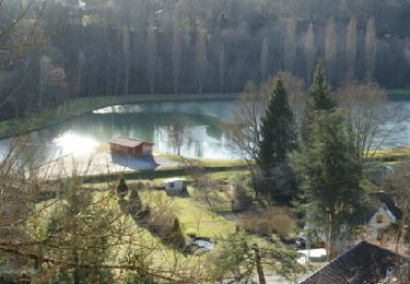
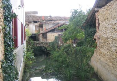
Trail Walking of 21 km to be discovered at Occitania, Ariège, Sainte-Croix-Volvestre. This trail is proposed by tracegps.
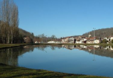
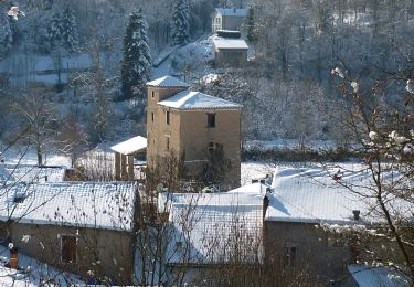
Longue balade dans les "petites Pyrénées"


Mountain bike
Mountain bike
Walking
Mountain bike
Mountain bike
Mountain bike
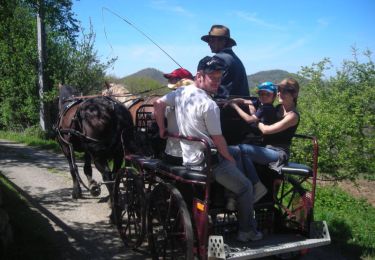
Equestrian
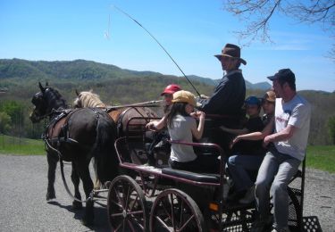
Equestrian

On foot
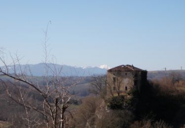
Belle randonnée champêtre, à part 3km de la départementale en fin parcours. Audier le 06-03-22.