Trail Walking Plouër-sur-Rance - Plouer le port _chêne vert - Photo

Plouer le port _chêne vert

© OpenStreetMap contributors
Length
Length
11.9 km
Max alt
Max alt
81 m
Uphill gradient
Uphill gradient
193 m
Km-Effort
Km-Effort  
14.4 km
Min alt
Min alt
4 m
Downhill gradient
Downhill gradient
192 m
Boucle
Boucle
Yes
Creation date :
2019-03-20 20:21:50.39
Updated on :
2019-03-20 20:21:50.39

(0 Reviews)

Walking
Walking
3h03
Difficulty : Unknown

Scan this QR Code to open this trail in the SityTrail application

FREE GPS app for hiking

Logo SityTrail SityTrail

IGN / Geographical institutes

Download SityTrail from the App Store Download SityTrail from Google Play

Logo SityTrail SityTrail World

The world is yours!

Download SityTrail from the App Store Download SityTrail from Google Play Download SityTrail on Huawei AppGallery

About

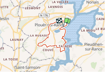
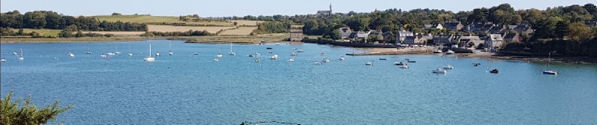
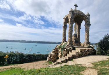
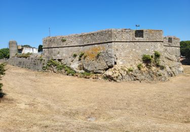
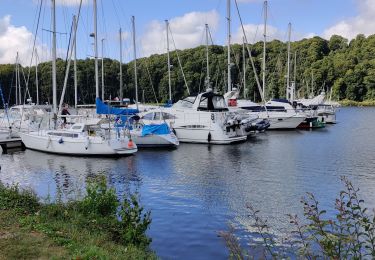
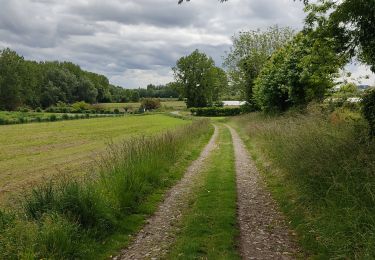
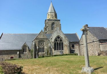
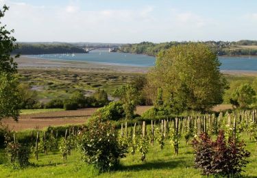
Trail Walking of 11.9 km to be discovered at Brittany, Côtes-d'Armor, Plouër-sur-Rance. This trail is proposed by COLLICHET.

Description

rives rance  bois plouer

Elevation profile

Photos

Points of interest

Point of interest Plouër-sur-Rance - pose1 - Photo
COLLICHET
PLOUËR-SUR-RANCE 

Positioning

Country:
France
Region :
Brittany
Department/Province :
Côtes-d'Armor
Municipality :
Plouër-sur-Rance
Location:
Unknown
Start:(UTM)
574803 ; 5375246 (30U) N.

Trails nearby

Trail Mountain bike Plouër-sur-Rance - Vallée de la Rance par Plouer sur Rance et Dinan - Photo
Mountain bike
tracegps

Mountain bike

Medium
(1)
Plouër-sur-Rance, Brittany, Côtes-d'Armor, France
27 km | 33 km-effort
2h 30min
Yes
Trail Walking Saint-Suliac - Saint-Suliac les bords de la Rance - Photo
Walking
zefreefly

Walking

Very easy
Saint-Suliac, Brittany, Ille-et-Vilaine, France
20 km | 24 km-effort
4h 54min
Yes
Trail Walking Saint-Suliac - Petite boucle autour de Saint Suliac J6 - Photo
Walking
chessyca

Walking

Easy
Saint-Suliac, Brittany, Ille-et-Vilaine, France
5.9 km | 7.5 km-effort
1h 49min
Yes
Trail Walking Saint-Suliac - Étape N°10 Saint-Suliac_Saint-Malo - Photo
Walking
JYB77

Walking

Medium
Saint-Suliac, Brittany, Ille-et-Vilaine, France
18.8 km | 22 km-effort
5h 42min
No
Trail Walking La Vicomté-sur-Rance - circuit de l'éperon barré. La Vicomté sur Rance  - Photo
Walking
selevrich

Walking

Medium
La Vicomté-sur-Rance, Brittany, Côtes-d'Armor, France
9.3 km | 11.2 km-effort
2h 41min
Yes
Trail Walking Saint-Suliac - belle randonnée depuis suliac vers le mont Garros retour vers suliac  par le chemin côtier ensuite faire le tour de la presqu'île pour revenir à suliac attention 2eme partie du chemin ne pas le faire  a un coefficient  haut  très agréable a faire - Photo
Walking
jumetz philippe

Walking

Medium
Saint-Suliac, Brittany, Ille-et-Vilaine, France
10.5 km | 13 km-effort
2h 56min
Yes
Trail Walking Saint-Suliac - Saint-Suliac - 13.1km 230m 3h25 - 2017 06 21 - Photo
Walking
Orcal37

Walking

Easy
Saint-Suliac, Brittany, Ille-et-Vilaine, France
13.1 km | 15.8 km-effort
3h 25min
Yes
Trail Equestrian Saint-Père-Marc-en-Poulet - Côte d'Emeraude et Pointe du Grouin - Photo
Equestrian
tracegps

Equestrian

Very difficult
Saint-Père-Marc-en-Poulet, Brittany, Ille-et-Vilaine, France
59 km | 65 km-effort
6h 0min
No
Trail Equestrian Plouër-sur-Rance - Circuit de la vallée de la Rance - Plouër sur Rance  - Photo
Equestrian
tracegps

Equestrian

Difficult
Plouër-sur-Rance, Brittany, Côtes-d'Armor, France
23 km | 27 km-effort
2h 30min
No


Close
My subscriptions