


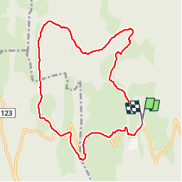


13.5 km | 19.7 km-effort

User


FREE GPS app for hiking
 SityTrail
IGN / Geographical institutes
SityTrail World
The world is yours!
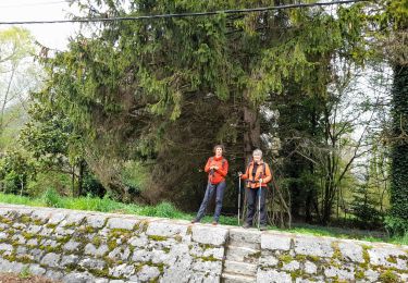
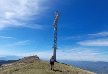
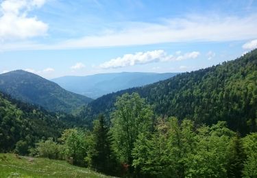
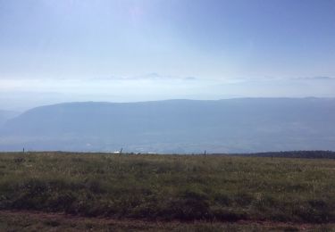
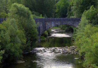
Trail Walking of 9.9 km to be discovered at Auvergne-Rhône-Alpes, Ain, Corbonod. This trail is proposed by jibe01.
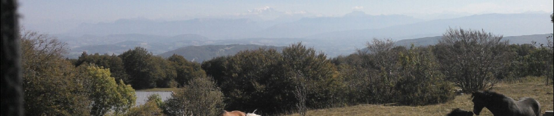
belle alternative au grang colombier. Vu sur mt Blanc‚grand colombier


Walking
Walking

Walking
Walking
Walking
Walking
Walking
Walking
Walking