


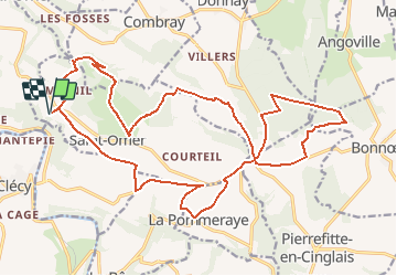

25 km | 34 km-effort


User


FREE GPS app for hiking
 SityTrail
IGN / Geographical institutes
SityTrail World
The world is yours!
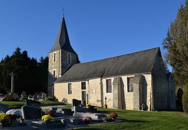
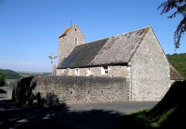
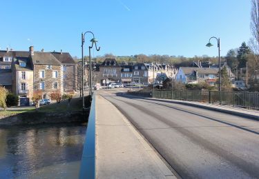
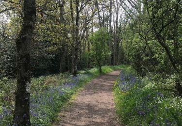
Trail Running of 24 km to be discovered at Normandy, Calvados, Saint-Omer. This trail is proposed by tracegps.
Départ site de vol libre sur les hauteurs, puis super chemin très agréable. Du point 76 au point 91 le chemin est dans un bois il faut passer par dessus une barrière. En foret de Saint clair, le chemin qui longe la lisière est très sauvage (point 157 à 170) L'itinéraire que j'avais prévu comportait moins de portions de route mais 4 à 5 chemin présents sur la carte ont été supprimés par les agriculteurs. (C'est dommage!!!) Super balade néanmoins à faire par vent d'ouest (on est à l'abri) Bonne balade!

Mountain bike

On foot
On foot
On foot

On foot
On foot

Mountain bike
Walking