Trail Walking Chivasso - Rome_54_Chivasso_Lamporo _20180913 - Photo

Rome_54_Chivasso_Lamporo _20180913

© OpenStreetMap contributors
Length
Length
20 km
Max alt
Max alt
197 m
Uphill gradient
Uphill gradient
112 m
Km-Effort
Km-Effort  
22 km
Min alt
Min alt
164 m
Downhill gradient
Downhill gradient
124 m
Boucle
Boucle
No
Creation date :
2019-01-15 17:00:32.806
Updated on :
2022-12-13 15:10:49.118

(0 Reviews)

Walking
Walking
4h53
Difficulty : Very easy

Scan this QR Code to open this trail in the SityTrail application

FREE GPS app for hiking

Logo SityTrail SityTrail

IGN / Geographical institutes

Download SityTrail from the App Store Download SityTrail from Google Play

Logo SityTrail SityTrail World

The world is yours!

Download SityTrail from the App Store Download SityTrail from Google Play Download SityTrail on Huawei AppGallery

About

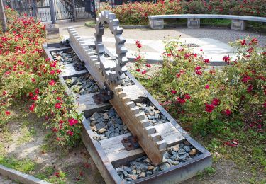
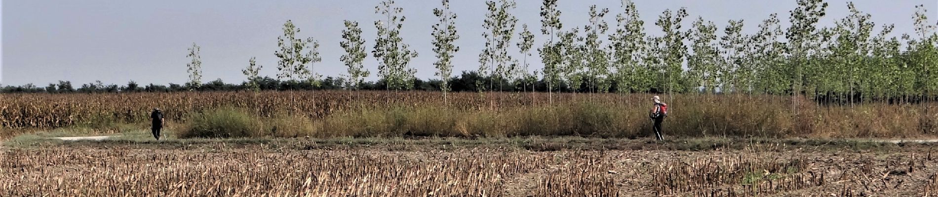
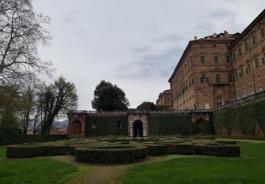
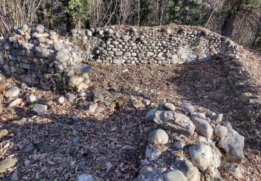
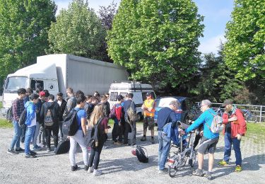
Trail Walking of 20 km to be discovered at Piemont, Torino, Chivasso. This trail is proposed by patrickdanilo.

Description

ALTA-34-N°0510F54

Elevation profile

Photos

Positioning

Country:
Italy
Region :
Piemont
Department/Province :
Torino
Municipality :
Chivasso
Location:
Unknown
Start:(UTM)
413555 ; 5004627 (32T) N.

Trails nearby

Trail On foot San Giorgio Canavese - ETOP1320000 - Photo
On foot
PRO

On foot

Easy
San Giorgio Canavese, Piemont, Torino, Italy
13.7 km | 15.3 km-effort
3h 28min
No
Trail On foot Mazzè - Mazzé(bivio102)-Barone(bivio101) - Photo
On foot
PRO

On foot

Medium
Mazzè, Piemont, Torino, Italy
17.8 km | 22 km-effort
5h 1min
No
Trail On foot Candia Canavese - Barone Canavese, bivio104-TOP101 presso Torre-Mercenasco bivio costa Becchera - Photo
On foot
PRO

On foot

Easy
Candia Canavese, Piemont, Torino, Italy
7.4 km | 9.1 km-effort
2h 4min
No
Trail On foot Villareggia - Mazze', ponte sulla Dora Baltea, bivio110-Candia Canavese - Photo
On foot
PRO

On foot

Easy
Villareggia, Piemont, Torino, Italy
10.5 km | 13.8 km-effort
3h 7min
No
Trail On foot Vialfrè - Sentiero dei massi erratici - Photo
On foot
PRO

On foot

Easy
Vialfrè, Piemont, Torino, Italy
7.2 km | 8.8 km-effort
2h 0min
Yes
Trail On foot Agliè - Alta Via dell’Anfiteatro Morenico di Ivrea - Itinerario di Collegamento di Agliè - Photo
On foot
PRO

On foot

Easy
Agliè, Piemont, Torino, Italy
4.1 km | 5.7 km-effort
1h 17min
No
Trail On foot Turin - Sentiero Natura - Photo
On foot
PRO

On foot

Easy
Turin, Piemont, Torino, Italy
5.1 km | 8.3 km-effort
1h 53min
No
Trail On foot Turin - IT-29 - Photo
On foot
PRO

On foot

Easy
Turin, Piemont, Torino, Italy
3.7 km | 5.3 km-effort
1h 12min
No
Trail On foot Turin - 28 - Photo
On foot
PRO

On foot

Easy
Turin, Piemont, Torino, Italy
4.8 km | 6.5 km-effort
1h 28min
No


Close
My subscriptions