


20180930 - CAF Estrop J2

motardes04
User
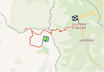

Length
13.6 km

Max alt
2938 m

Uphill gradient
1074 m
Km-Effort
29 km

Min alt
1789 m

Downhill gradient
1312 m
Boucle
No
Creation date :
2019-01-15 17:02:31.999
Updated on :
2019-01-15 17:02:31.999
7h10
Difficulty : Difficult

FREE GPS app for hiking
 SityTrail
IGN / Geographical institutes
SityTrail Plus
The world is yours!
About
Trail Walking of 13.6 km to be discovered at Provence-Alpes-Côte d'Azur, Alpes-de-Haute-Provence, Prads-Haute-Bléone. This trail is proposed by motardes04.
Positioning
Country:
France
Region :
Provence-Alpes-Côte d'Azur
Department/Province :
Alpes-de-Haute-Provence
Municipality :
Prads-Haute-Bléone
Location:
Prads
Start:(Dec)
Start:(UTM)
302477 ; 4905226 (32T) N.
Comments