


4.7 km | 6.7 km-effort

User


FREE GPS app for hiking
 SityTrail
IGN / Geographical institutes
SityTrail World
The world is yours!
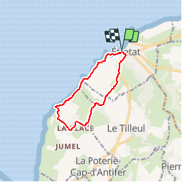
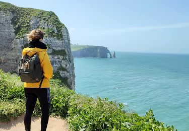
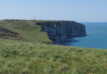
Trail Walking of 8.7 km to be discovered at Normandy, Seine-Maritime, Étretat. This trail is proposed by tracegps.
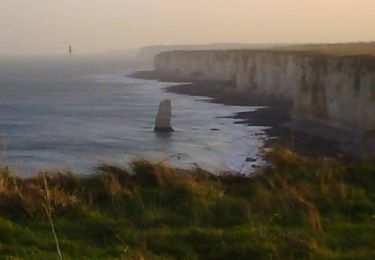
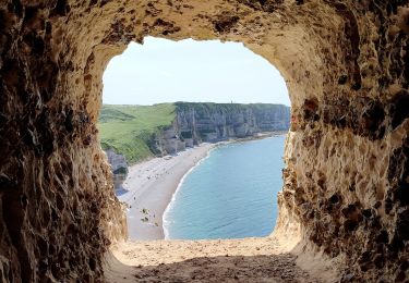
Belle rando sur les sentiers des falaises. Une vue prenante sur les falaises et le retour se fait par des sentiers campagnards.


Walking

Walking
Mountain bike
Walking

Walking
Walking
Walking
Walking
Walking
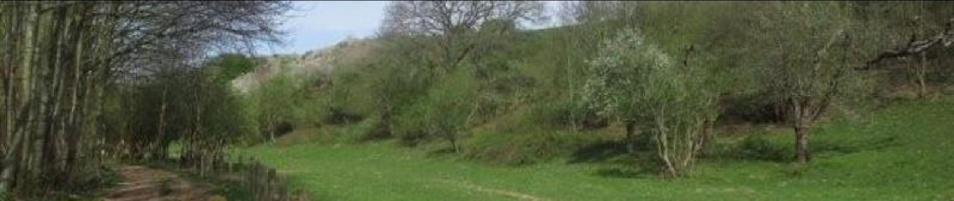
Très bucolique