


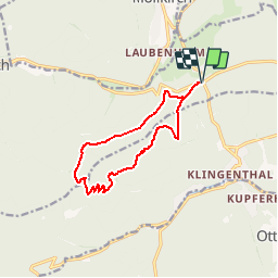
Parking Eichwald-Ochsenläger - Place des Charpentiers - Heidenkopf - Tour Mundel - Abri Verlorenereck-Grand Hêtre - Sentiers des sources et retour

patrickbeyrath
User

Length
10.9 km

Max alt
788 m

Uphill gradient
436 m
Km-Effort
16.8 km

Min alt
362 m

Downhill gradient
436 m
Boucle
Yes
Creation date :
2018-10-13 05:51:40.38
Updated on :
2018-10-13 05:51:40.395
3h28
Difficulty : Medium

FREE GPS app for hiking
 SityTrail
IGN / Geographical institutes
SityTrail Plus
The world is yours!
About
Trail Walking of 10.9 km to be discovered at Grand Est, Bas-Rhin, Rosheim. This trail is proposed by patrickbeyrath.
Positioning
Country:
France
Region :
Grand Est
Department/Province :
Bas-Rhin
Municipality :
Rosheim
Location:
Unknown
Start:(Dec)
Start:(UTM)
381694 ; 5371898 (32U) N.
Comments