Trail Mountain bike Cadours - Autour de Cadours - Photo

Autour de Cadours

 tracegps
tracegps

User

© OpenStreetMap contributors
Length
Length
37 km
Max alt
Max alt
298 m
Uphill gradient
Uphill gradient
686 m
Km-Effort
Km-Effort  
46 km
Min alt
Min alt
157 m
Downhill gradient
Downhill gradient
685 m
Boucle
Boucle
Yes
Creation date :
2014-12-10 00:00:00.0
Updated on :
2014-12-10 00:00:00.0

(0 Reviews)

Mountain bike
Mountain bike
3h00
Difficulty : Difficult

Scan this QR Code to open this trail in the SityTrail application

FREE GPS app for hiking

Logo SityTrail SityTrail

IGN / Geographical institutes

Download SityTrail from the App Store Download SityTrail from Google Play

Logo SityTrail SityTrail World

The world is yours!

Download SityTrail from the App Store Download SityTrail from Google Play Download SityTrail on Huawei AppGallery

About

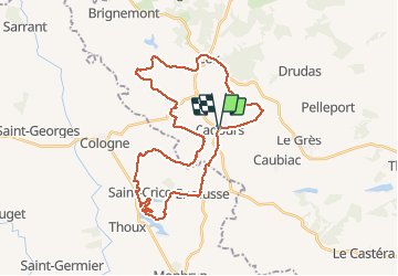
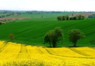
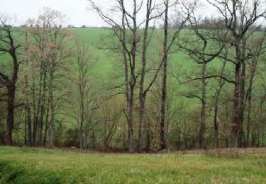
Trail Mountain bike of 37 km to be discovered at Occitania, Haute-Garonne, Cadours. This trail is proposed by tracegps.

Description

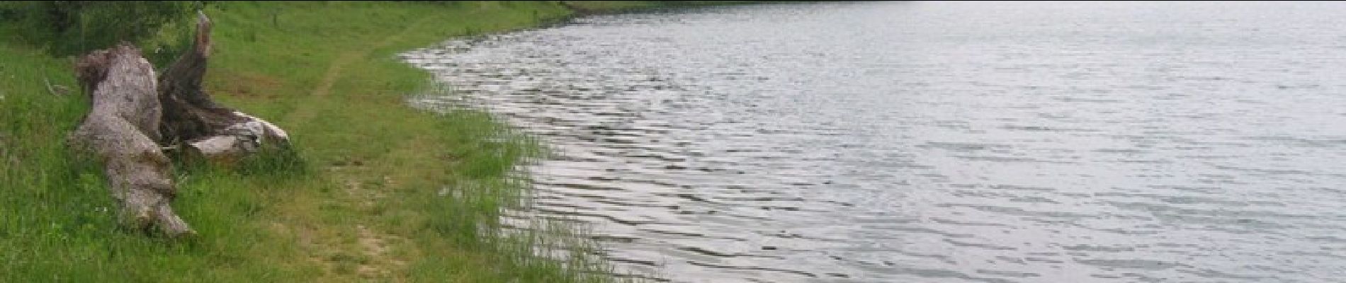
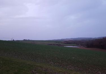
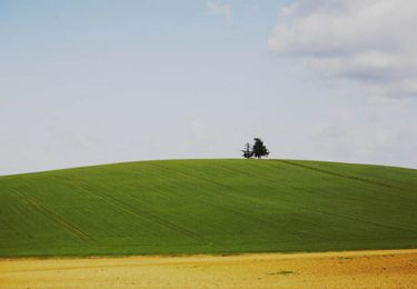
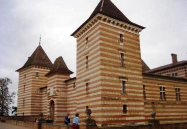
Un parcours sans difficulté technique, mais qui demande un certain engagement physique car les tronçons plats sont rares. Un joli single au bord du lac de Saint Cricq. Quelques belles vues sur le château de Laréole. Traversée de villages minuscules pleins de cachet.

Elevation profile

Photos

Positioning

Country:
France
Region :
Occitania
Department/Province :
Haute-Garonne
Municipality :
Cadours
Location:
Unknown
Start:(UTM)
342900 ; 4843498 (31T) N.

Trails nearby

Trail Mountain bike Encausse - La Colognaise 2017 fin  boucle 2 - Photo
Mountain bike
cbouttes

Mountain bike

Difficult
Encausse, Occitania, Gers, France
3.3 km | 3.9 km-effort
25min
No
Trail Walking Vignaux - Parcours de la Garenne - Vignaux - Photo
Walking
tracegps

Walking

Medium
Vignaux, Occitania, Haute-Garonne, France
6.9 km | 8.4 km-effort
2h 15min
Yes
Trail Walking Le Grès - Chemin du Grès - Photo
Walking
tracegps

Walking

Medium
Le Grès, Occitania, Haute-Garonne, France
11.8 km | 15.3 km-effort
3h 40min
Yes
Trail Walking Le Grès - Chemin du Pont Romain  - Le Grès - Photo
Walking
tracegps

Walking

Medium
Le Grès, Occitania, Haute-Garonne, France
9 km | 11.4 km-effort
3h 0min
Yes
Trail Walking Drudas - Chemin du Tourguil - Drudas - Photo
Walking
tracegps

Walking

Medium
Drudas, Occitania, Haute-Garonne, France
7.4 km | 9.4 km-effort
2h 30min
Yes
Trail Walking Drudas - Chemin d'Aubépine - Drudas - Photo
Walking
tracegps

Walking

Medium
Drudas, Occitania, Haute-Garonne, France
6.2 km | 7.5 km-effort
2h 10min
Yes
Trail Walking Laréole - Chemin de Laréole - Photo
Walking
tracegps

Walking

Medium
Laréole, Occitania, Haute-Garonne, France
9.5 km | 11.6 km-effort
3h 10min
Yes
Trail Walking Encausse - Encausse par le lac-16884116 - Photo
Walking
pidjam

Walking

Difficult
Encausse, Occitania, Gers, France
12.2 km | 14.7 km-effort
3h 20min
Yes
Trail Walking Laréole - Laréole - Photo
Walking
Fafou64

Walking

Laréole, Occitania, Haute-Garonne, France
10 km | 12.3 km-effort
2h 16min
Yes


Close
My subscriptions