


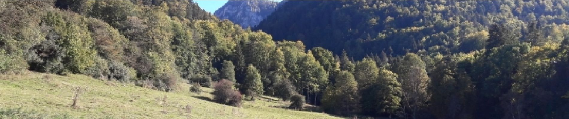
le chasseral 4 10 2018

jibus90
User
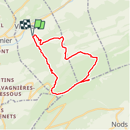

Length
14.5 km

Max alt
1619 m

Uphill gradient
921 m
Km-Effort
27 km

Min alt
771 m

Downhill gradient
921 m
Boucle
Yes
Creation date :
2019-01-15 17:16:50.608
Updated on :
2019-01-15 17:16:50.608
5h16
Difficulty : Difficult

FREE GPS app for hiking
 SityTrail
IGN / Geographical institutes
SityTrail Plus
The world is yours!
About
Trail Walking of 14.5 km to be discovered at Bern, Bernese Jura administrative district, Villeret. This trail is proposed by jibus90.
Photos


29 photos in total. Please click on a photo to see them all in the gallery.


Positioning
Country:
Switzerland
Region :
Bern
Department/Province :
Bernese Jura administrative district
Municipality :
Villeret
Location:
Unknown
Start:(Dec)
Start:(UTM)
350121 ; 5224143 (32T) N.
Comments