


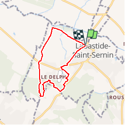

11.5 km | 13.4 km-effort

User


FREE GPS app for hiking
 SityTrail
IGN / Geographical institutes
SityTrail World
The world is yours!
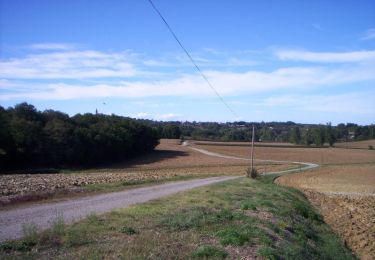
Trail Running of 6.5 km to be discovered at Occitania, Haute-Garonne, Labastide-Saint-Sernin. This trail is proposed by tracegps.
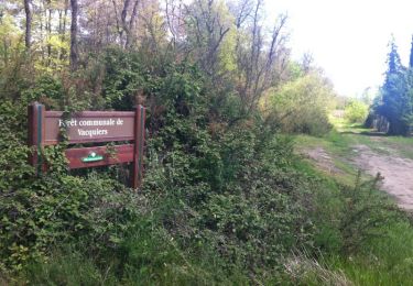
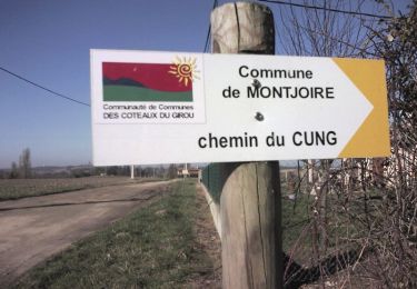
Un vrai bon beau circuit de découverte appréciable par les chaleurs estivales avec beaucoup de tronçons en sous bois. Sinon des sentiers inconnus de l’IGN mais bien tracés et qu’il faut arpenter car les ronces ont tendance à tout envahir. Des passages pas évidents, même à pied, respectez les propriétés des uns et des autres. Je déconseille en VTT tellement certains passages sont confidentiels. Excellent en running des bois ! On peut rallonger avec une incursion dans la forêt de Pechbonieu. Une autre fois ?


Walking
Mountain bike

On foot

Walking

Running

Walking
Running

Running
Walking