MR_VERSIGNY_5.3Km

GR77LP
User
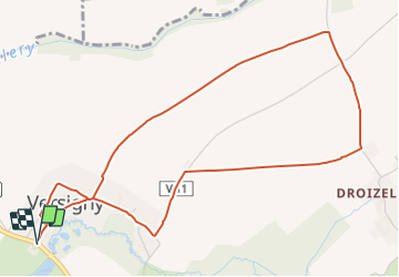

Length
5.3 km

Max alt
91 m

Uphill gradient
27 m
Km-Effort
5.6 km

Min alt
75 m

Downhill gradient
27 m
Boucle
Yes
Creation date :
2019-03-04 12:57:27.909
Updated on :
2022-01-12 18:05:16.45
1h12
Difficulty : Easy

FREE GPS app for hiking
 SityTrail
IGN / Geographical institutes
SityTrail Plus
The world is yours!
About
Trail Walking of 5.3 km to be discovered at Hauts-de-France, Oise, Versigny. This trail is proposed by GR77LP.
Description
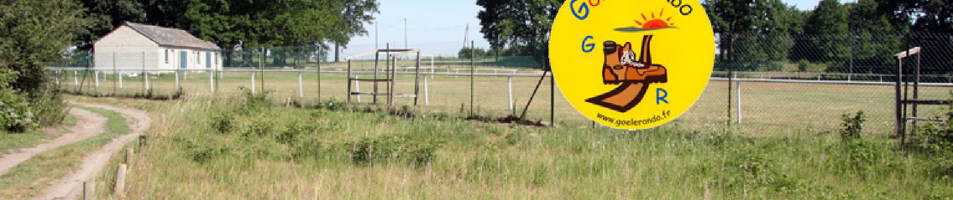
https://www.goelerando.fr/
DAMMARTIN en GOËLE 77
Photos

Positioning
Country:
France
Region :
Hauts-de-France
Department/Province :
Oise
Municipality :
Versigny
Location:
Unknown
Start:(Dec)
Start:(UTM)
482593 ; 5445110 (31U) N.
Comments