Trail Walking Dienne - La pinatelle de Parre - Fortuniès - Photo

La pinatelle de Parre - Fortuniès

 tracegps
tracegps

User

© OpenStreetMap contributors
Length
Length
12.6 km
Max alt
Max alt
1174 m
Uphill gradient
Uphill gradient
256 m
Km-Effort
Km-Effort  
16 km
Min alt
Min alt
1011 m
Downhill gradient
Downhill gradient
256 m
Boucle
Boucle
Yes
Creation date :
2014-12-10 00:00:00.0
Updated on :
2014-12-10 00:00:00.0

(1 Reviews)

Walking
Walking
3h30
Difficulty : Medium

Scan this QR Code to open this trail in the SityTrail application

FREE GPS app for hiking

Logo SityTrail SityTrail

IGN / Geographical institutes

Download SityTrail from the App Store Download SityTrail from Google Play

Logo SityTrail SityTrail World

The world is yours!

Download SityTrail from the App Store Download SityTrail from Google Play Download SityTrail on Huawei AppGallery

About

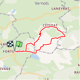
Trail Walking of 12.6 km to be discovered at Auvergne-Rhône-Alpes, Cantal, Dienne. This trail is proposed by tracegps.

Description

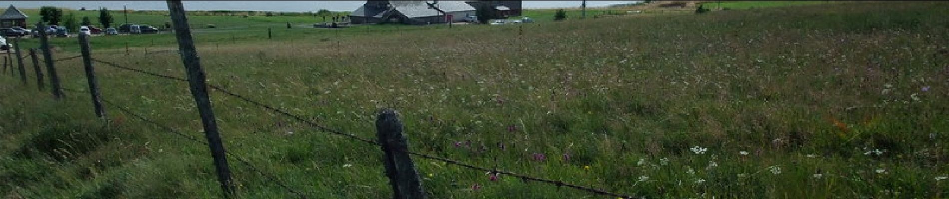
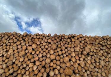
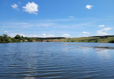
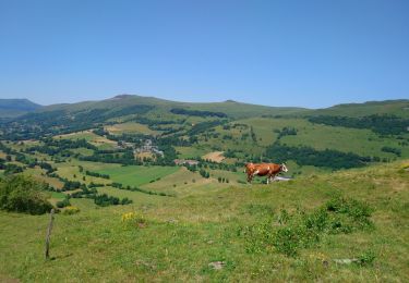
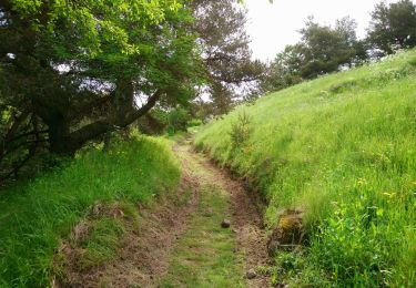
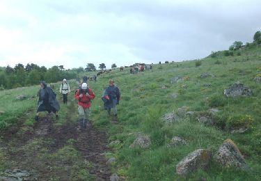
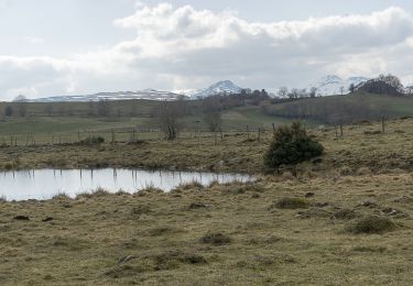
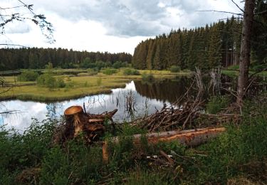
Départ à Fortuniés, à l’Ouest du bois de la Pinatelle et du lac du Pêcher ; on peut cependant partir de « Fons-Nostre » au bord du lac. L’environnement boisé de pins et d’abondant feuillus offre de nombreux points de vue et l’itinéraire, sans dénivelé et autre difficulté, emprunte de larges chemins. Entre les points A et B, la trace proposée traverse une petite et récente plantation de résineux afin d’utiliser son GPS, car le chemin n’existe plus (c’était le plus court !).

Elevation profile

Photos

Points of interest

Point of interest Vernols - A - Photo
tracegps
VERNOLS 
Point of interest Neussargues en Pinatelle - Autre départ - Photo
tracegps
NEUSSARGUES EN PINATELLE 
Point of interest Vernols - B - Photo
tracegps
VERNOLS 
Point of interest Dienne - départ - Photo
tracegps
DIENNE 

Positioning

Country:
France
Region :
Auvergne-Rhône-Alpes
Department/Province :
Cantal
Municipality :
Dienne
Location:
Unknown
Start:(UTM)
489040 ; 5003920 (31T) N.

Comments

Please log in to post a review or rate the element


Certains devraient plutôt s'adonner à l'onanisme que de tracer des randonnées où même un sanglier aurait du mal à passer certains endroits...


Trails nearby

Trail Horseback riding Neussargues en Pinatelle - chalinargue 2 - Photo
Horseback riding
btrotignon

Horseback riding

Easy
(1)
Neussargues en Pinatelle, Auvergne-Rhône-Alpes, Cantal, France
26 km | 34 km-effort
5h 14min
Yes
Trail Walking Dienne - Lac de sauvages  - Photo
Walking
GUIDE
antignacs

Walking

Very easy
Dienne, Auvergne-Rhône-Alpes, Cantal, France
5.7 km | 7 km-effort
1h 37min
Yes
Trail Walking Dienne - Lioran 2023-08-15 Tour des lacs Sauvages - Photo
Walking
marionneau

Walking

Easy
Dienne, Auvergne-Rhône-Alpes, Cantal, France
11.1 km | 13.7 km-effort
2h 32min
Yes
Trail Walking Dienne - Cantal - le Chaumeil - Dienne et Rocher de Laqueille - 9km 265m 2h50 - 2019 07 05 - Photo
Walking
Orcal37

Walking

Very easy
(1)
Dienne, Auvergne-Rhône-Alpes, Cantal, France
9 km | 12.6 km-effort
2h 50min
Yes
Trail Walking Ségur-les-Villas - Cantal - La gazelle - lac Du Jolan - 11km 270m 3h30 - 2019 06 24 - Photo
Walking
Orcal37

Walking

Easy
Ségur-les-Villas, Auvergne-Rhône-Alpes, Cantal, France
11 km | 14.7 km-effort
3h 30min
Yes
Trail Walking Dienne - De Fortuniès à Chastel sur Murat via le Lac du Pêcher - Photo
Walking
tracegps

Walking

Difficult
Dienne, Auvergne-Rhône-Alpes, Cantal, France
26 km | 33 km-effort
7h 0min
No
Trail Walking Dienne - rando col d entremont - Photo
Walking
MarcBoscher

Walking

Easy
Dienne, Auvergne-Rhône-Alpes, Cantal, France
4.7 km | 5.8 km-effort
1h 7min
No
Trail Walking Dienne - Rando en boucle sur le plateau de la Pinatelle - Photo
Walking
ilur56

Walking

Easy
Dienne, Auvergne-Rhône-Alpes, Cantal, France
14.8 km | 19 km-effort
3h 7min
Yes
Trail Walking Dienne - Lac de Sauvage - Photo
Walking
sereton

Walking

Easy
Dienne, Auvergne-Rhône-Alpes, Cantal, France
13.9 km | 17.2 km-effort
3h 31min
Yes


Close
My subscriptions