


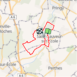
Saint-Sauveur

dmatignon
User

Length
11.2 km

Max alt
88 m

Uphill gradient
140 m
Km-Effort
13.1 km

Min alt
44 m

Downhill gradient
140 m
Boucle
Yes
Creation date :
2019-01-15 17:33:44.357
Updated on :
2019-06-11 12:05:49.201
2h53
Difficulty : Easy

FREE GPS app for hiking
 SityTrail
IGN / Geographical institutes
SityTrail Plus
The world is yours!
About
Trail Walking of 11.2 km to be discovered at Ile-de-France, Seine-et-Marne, Saint-Sauveur-sur-École. This trail is proposed by dmatignon.
Description
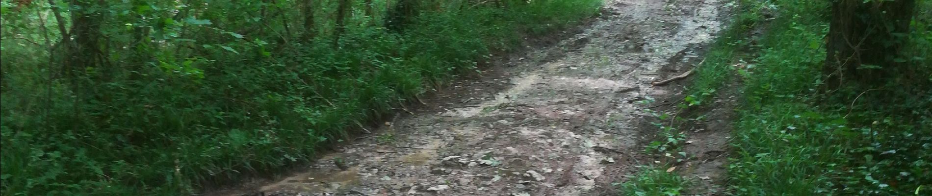
Petite randonnée à travers champs et bois.
Au passage découvertes de quelques lavoirs, moulins, et belles propriétés.
Les chemins peuvent être très boueux après la pluie.
Photos


Positioning
Country:
France
Region :
Ile-de-France
Department/Province :
Seine-et-Marne
Municipality :
Saint-Sauveur-sur-École
Location:
Unknown
Start:(Dec)
Start:(UTM)
466215 ; 5371823 (31U) N.
Comments