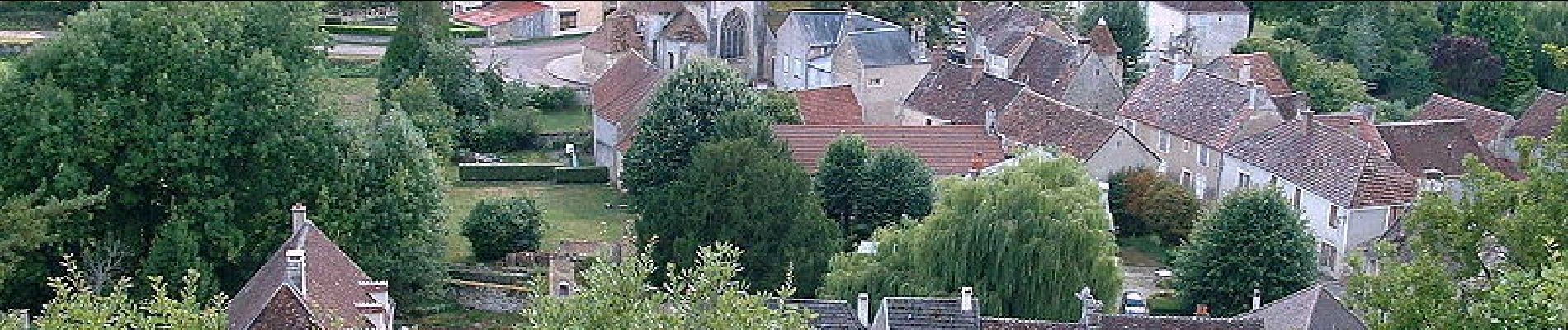
Druyes les Belles Fontaines

tracegps
User
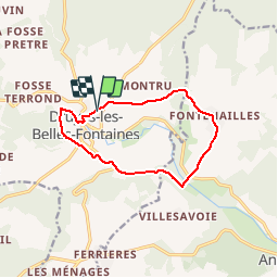


3h10
Difficulty : Medium

FREE GPS app for hiking
 SityTrail
IGN / Geographical institutes
SityTrail Plus
The world is yours!
About
Trail Walking of 10.6 km to be discovered at Bourgogne-Franche-Comté, Yonne, Druyes-les-Belles-Fontaines. This trail is proposed by tracegps.
Description
Ancien village fortifié, Druyes les Belles Fontaines est un haut lieu du Moyen Age avec son château et son église romane. Découverte de la campagne autour de Druyes et de son château fort fief de Mahaut. Possibilité de le visiter. Les vieilles maisons autour du château valent le coup d'œil.
Photos

Positioning
Comments